Valsendero – Hiking through one of the greenest regions of Gran Canaria
In the green north of Gran Canaria, far from the sun-drenched beaches in the south, the island reveals a completely different side. Here, in the area of Fontanales, Valsendero and the Barranco del Agua, the climate is shaped by moist trade wind clouds, which lead to lush vegetation and water-rich valleys. Dense forests, deeply cut gorges and scattered hamlets characterise this quiet, rural region. Especially in the winter months and spring, the landscape here appears in a rich green – a real contrast to the barren regions in the south.
The small village of Valsendero, a district of the municipality of Valleseco, lies nestled between slopes with chestnut trees and terraced fields. Fontanales, too, from where many hikes begin, exudes rural charm and offers a good entry point into the well-developed network of trails in the region. I have already presented several hikes from Fontanales on SiebenInseln (see under Variants). The Barranco del Agua, which cuts deeply through the landscape, is aptly named: especially in the wetter seasons, water flows here, and mosses and ferns thrive on the shady slopes. This circular hike combines all these scenic features into a varied tour through the quiet interior of the island.
Circular Hike Valsendero – through Gorges, Fields and Forests near Fontanales
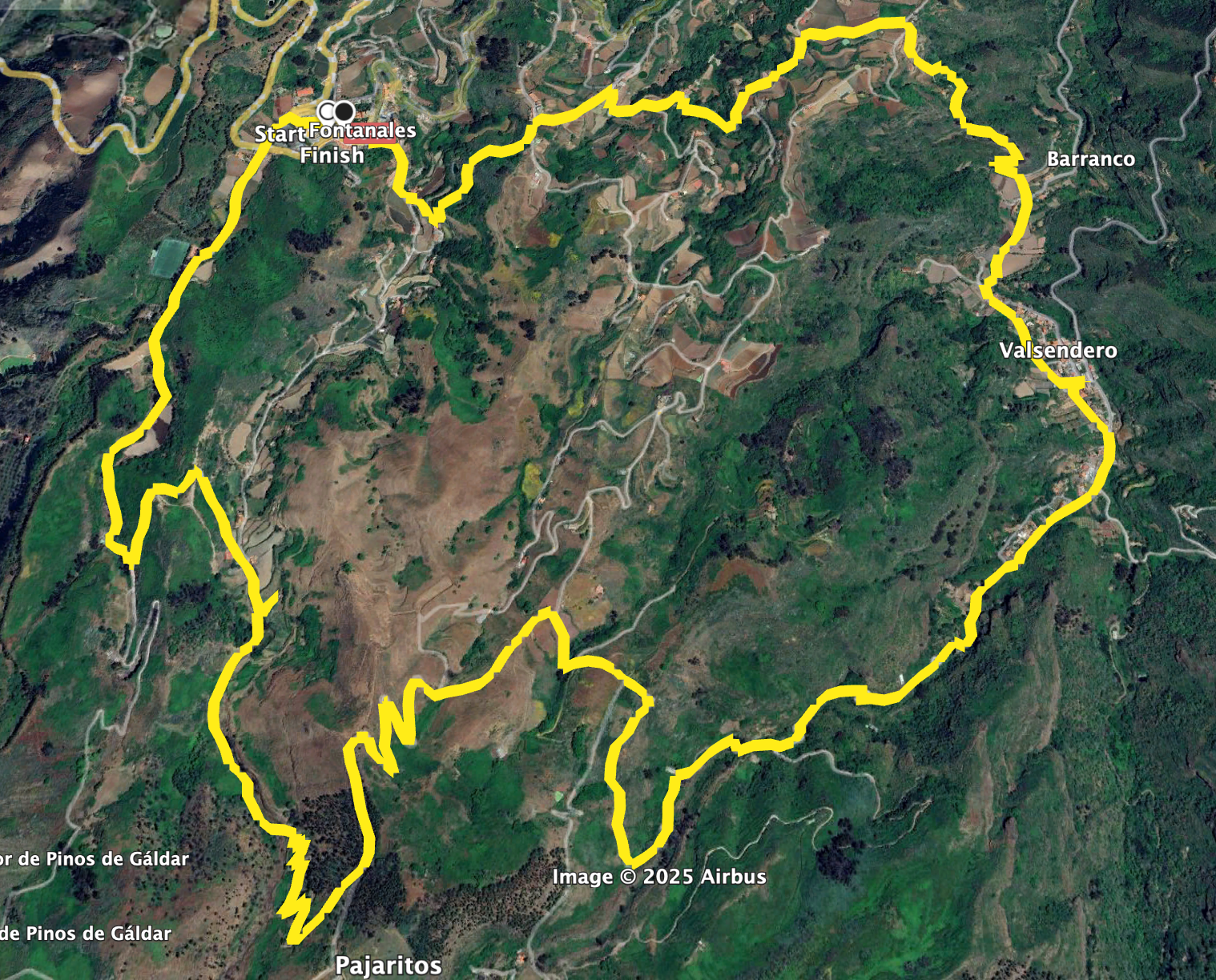
This varied circular hike begins and ends in the small village of Fontanales and first leads down into the green Barranco del Agua via paths and small roads. The trail continues through dense vegetation and past water-bearing spots to Valsendero, which lies idyllically in the midst of chestnut groves. After a brief passage through the village, the route gradually climbs and leads back towards Fontanales over scenic ridges and fields. Especially in spring or after rainfall, nature shows itself here in an especially lush way.
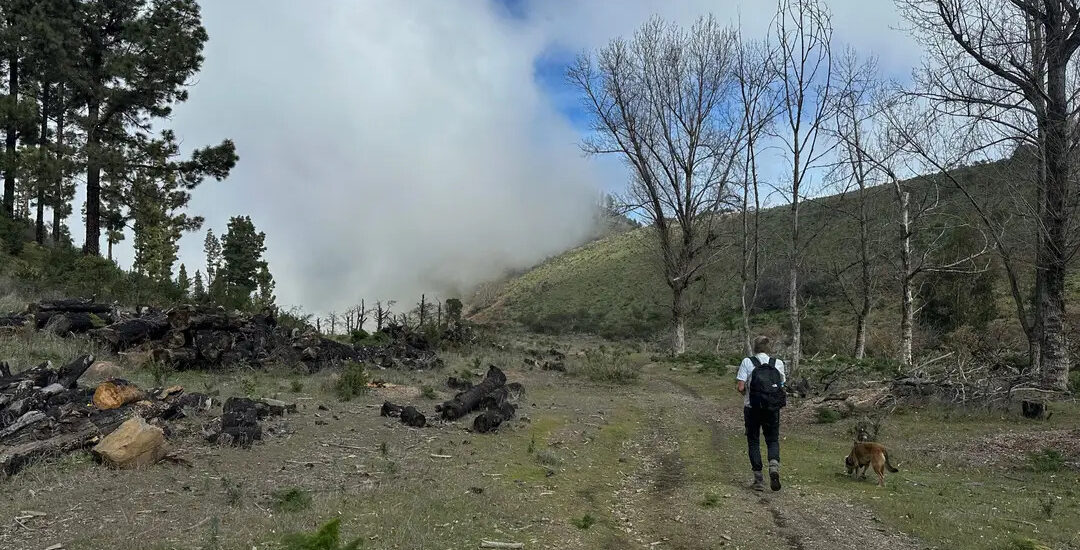
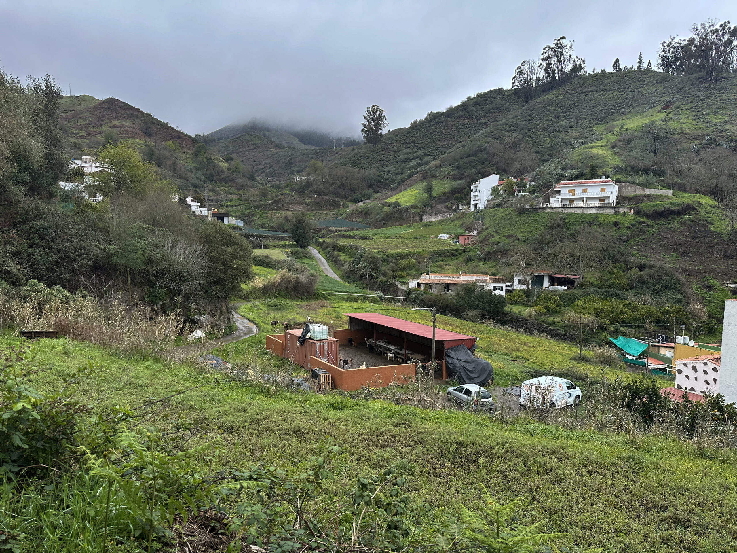
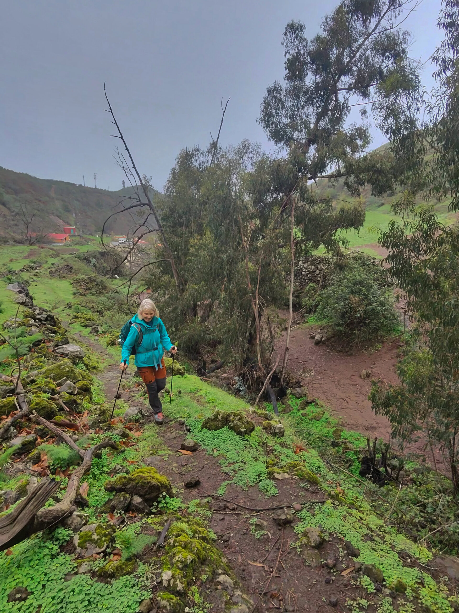
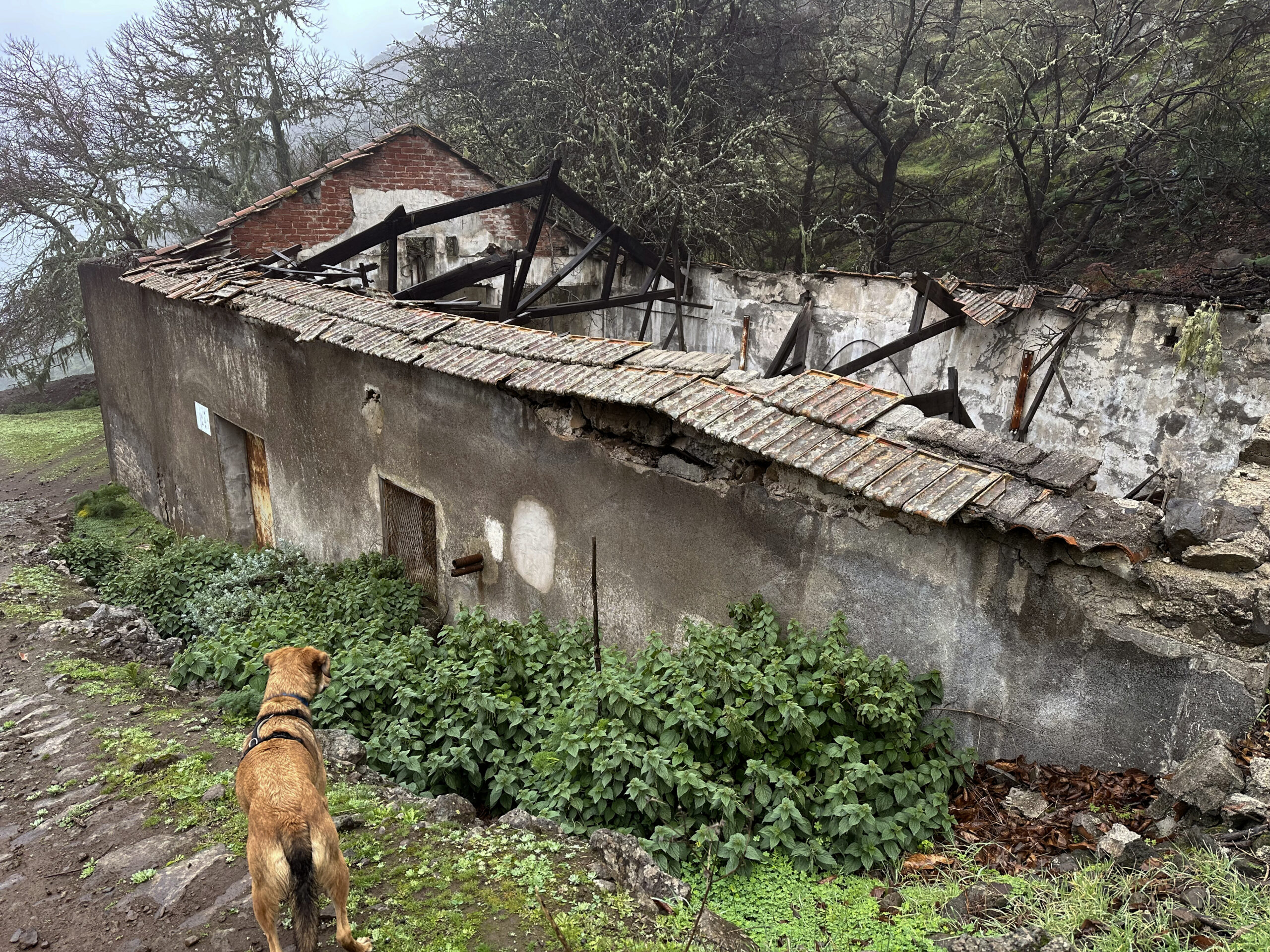
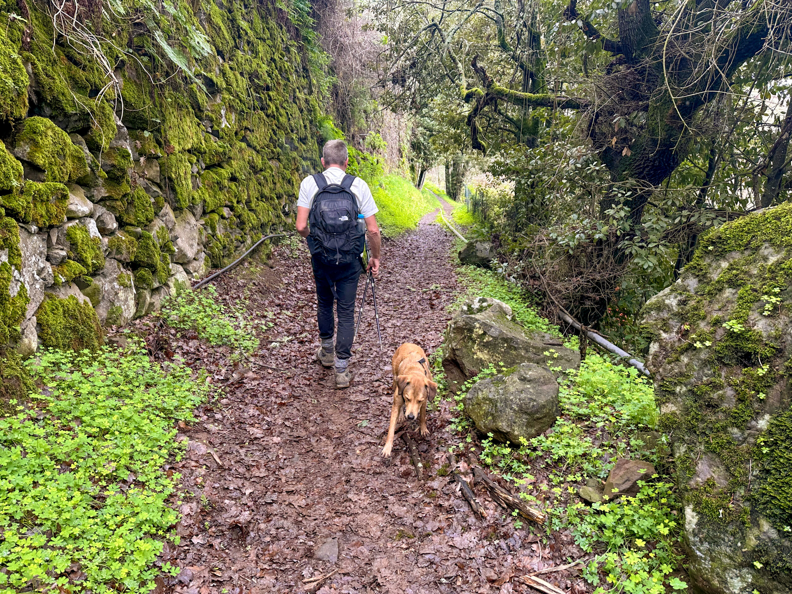
We did the hike on a grey and overcast day. Although the distant views were somewhat limited as a result, the tour had a charm of its own – with moss-covered trees, damp soil and an almost mystical atmosphere in the Barranco. Many of the photos in the article therefore reflect the typical weather of the island’s north. Those who follow the route on a clear day will also be rewarded with beautiful panoramic views of the green island interior.
General Information about the Circular Hike Valsendero
Starting Point and Getting There
The starting point of the hike is the small village of Fontanales. We started in the village centre as we were staying there. However, if you are arriving via the road to Fontanales, you can start directly at the GC-70 near the exit towards Artenara.
Getting There by Car
You can reach Fontanales by car via either the GC-70 or GC-75. There are parking spaces in the village, but it is better to park directly on the GC-70.
Getting There by Bus
Bus line 127 runs from Moya to Fontanales. You can find more details about bus connections on the website of Guaguasglobal.
Time
I’m reluctant to give general time estimates for hiking tours, as times are very individual. We needed almost exactly five hours for this large loop, including breaks.
Elevation Difference and Distance
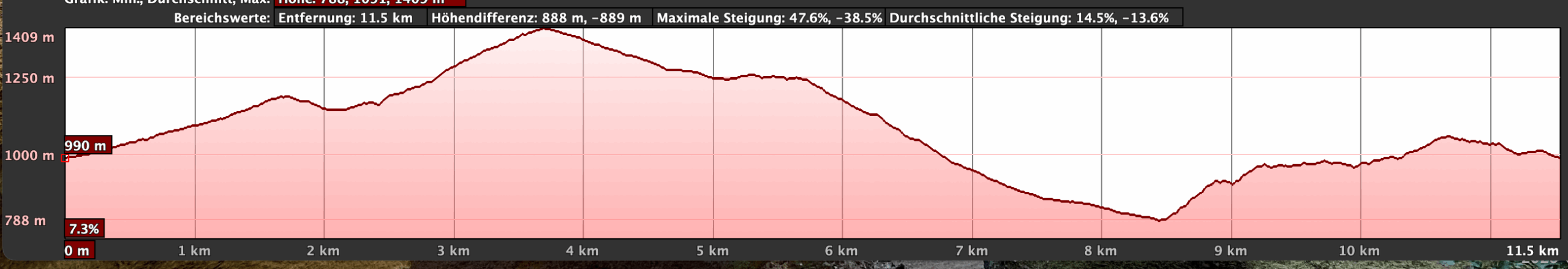
The elevation difference is about 800 metres and the route is 13.5 kilometres long.
Difficulty
For the most part, you walk on good hiking or dirt tracks. Only the ascent in the Barranco del Agua is a little unclear in a few places.
Refreshments
There are places to eat and drink at the starting point in Fontanales and possibly in Valsendero. Nevertheless, be sure to take enough water and provisions with you.
Variants
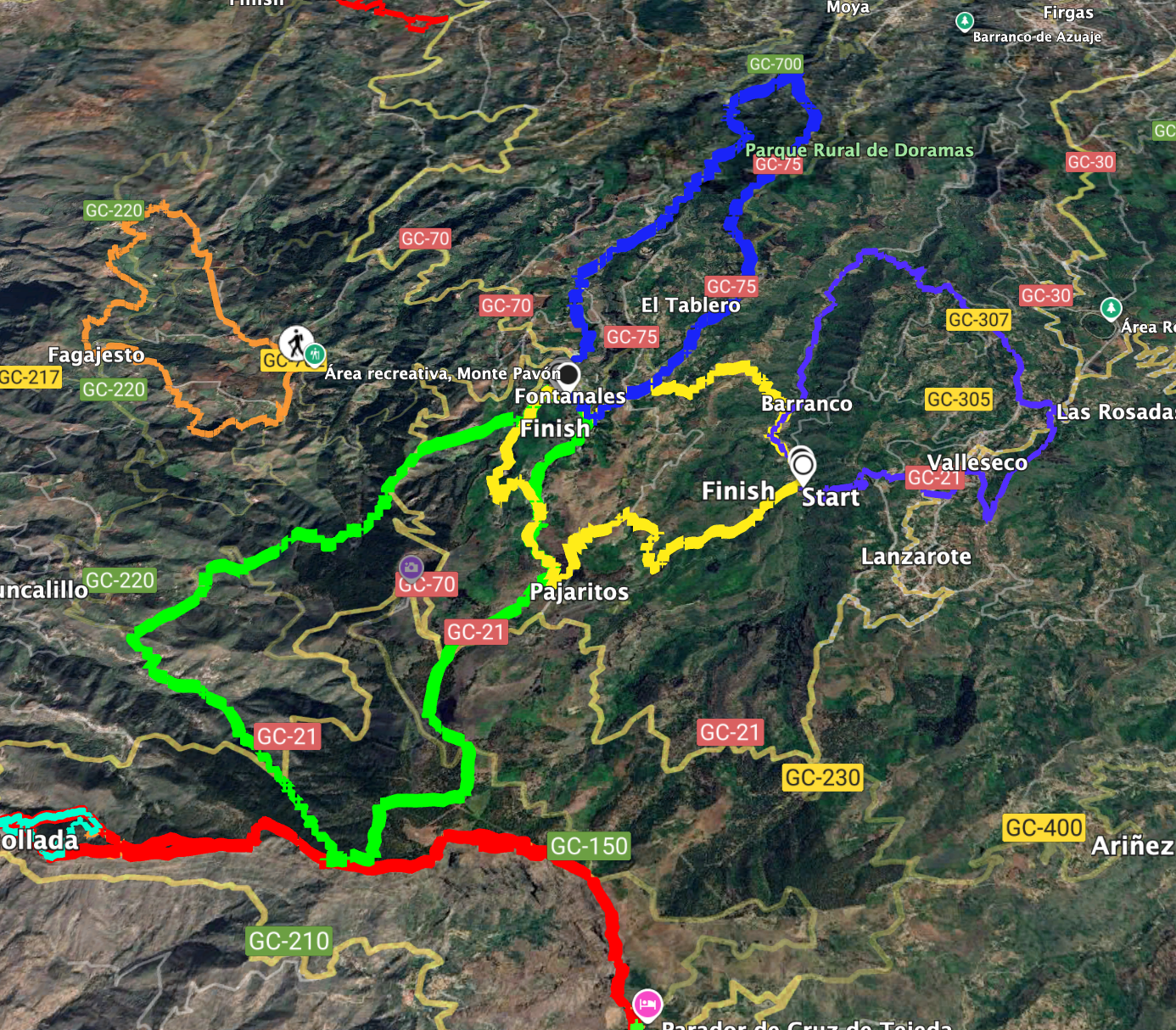
The hike overlaps in short sections with neighbouring hikes:
Large Circular Hike to the Cuevas de Caballero
Valleseco – Varied Circular Hike in the Green North of Gran Canaria
Tranquil Circular Hike through the Reserva Natural Especial Los Tilos de Moya
Circular Hike Fontanales – Barranco del Agua – Valsendero
Route Section Fontanales to Pozo La Solana
You start your hike in the centre of Fontanales or just above the village centre on the GC-70. Very close to the village exit towards Artenara, hiking trail S-05 begins, signposted to El Tablado and Artenara. For a short while, you walk on a wide path uphill along the left edge of the Barranquillo del Brezal. Behind a larger building, the hiking trail to Artenara branches off to the right. However, you continue straight ahead on the Camino El Valle. Shortly afterwards, at a fork, keep left and follow the Camino La Horcajada.
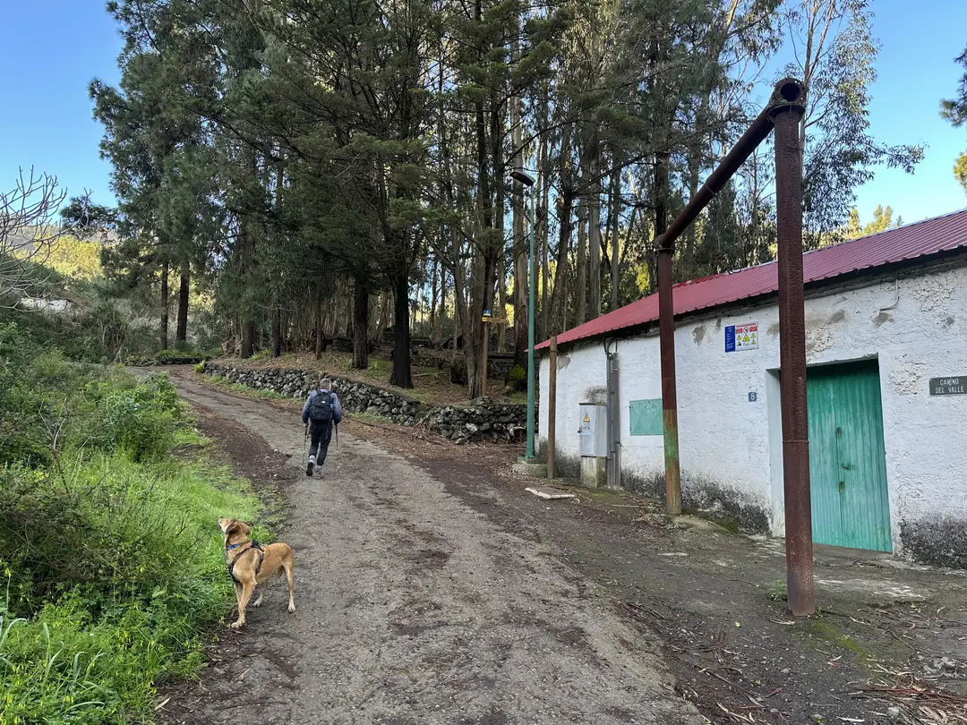
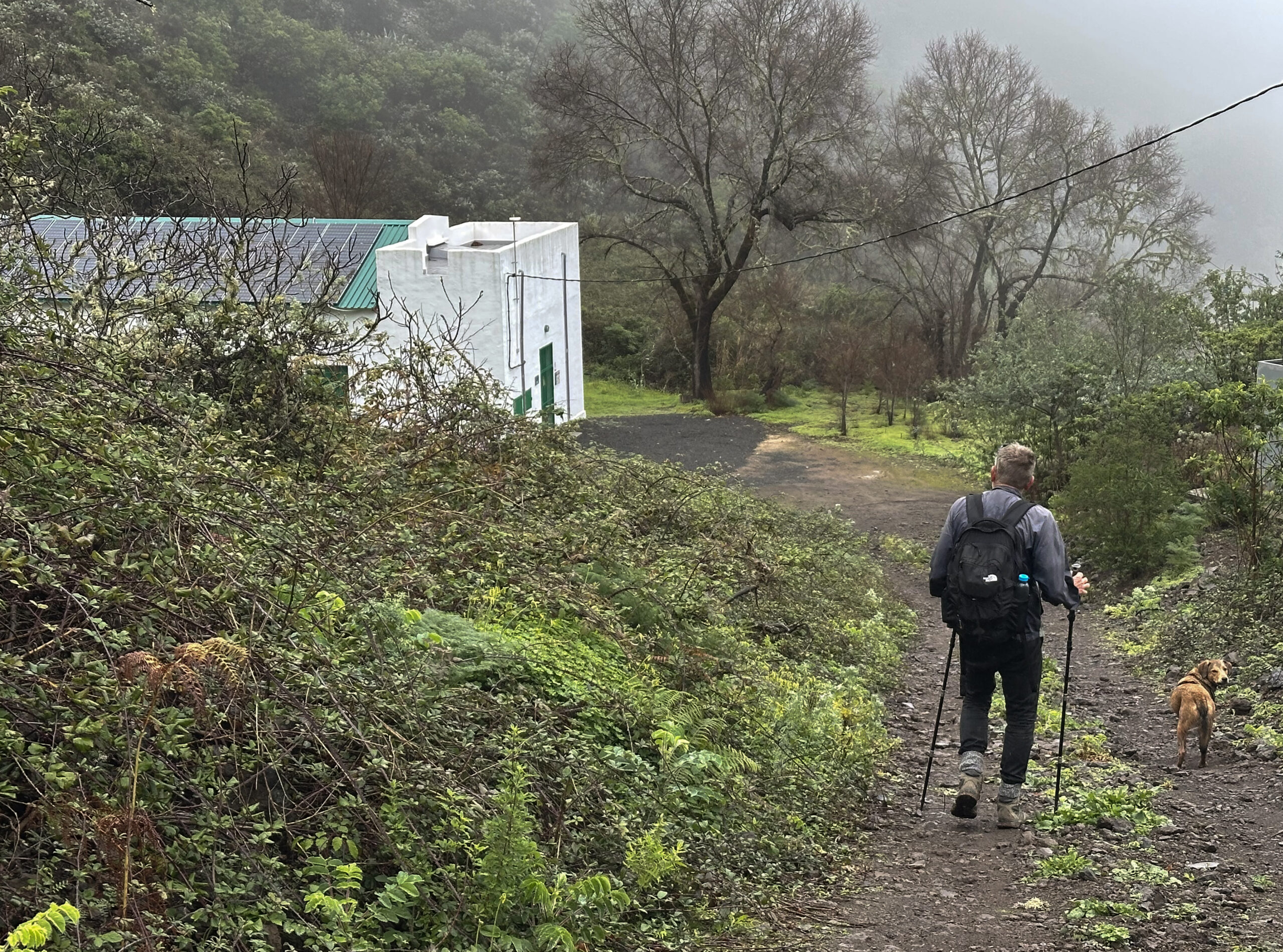
The path leads you uphill through fields, forests and green landscapes. After some time, you pass a white building, the Pozo de la Horcajada. Continue uphill and take a sharp left at the next junction. Stay on the main path and ignore any branching tracks. In good weather, you already have a lovely view of the green area around Fontanales. After turning right, the path now leads downhill to a small hamlet and the Pozo La Solana.
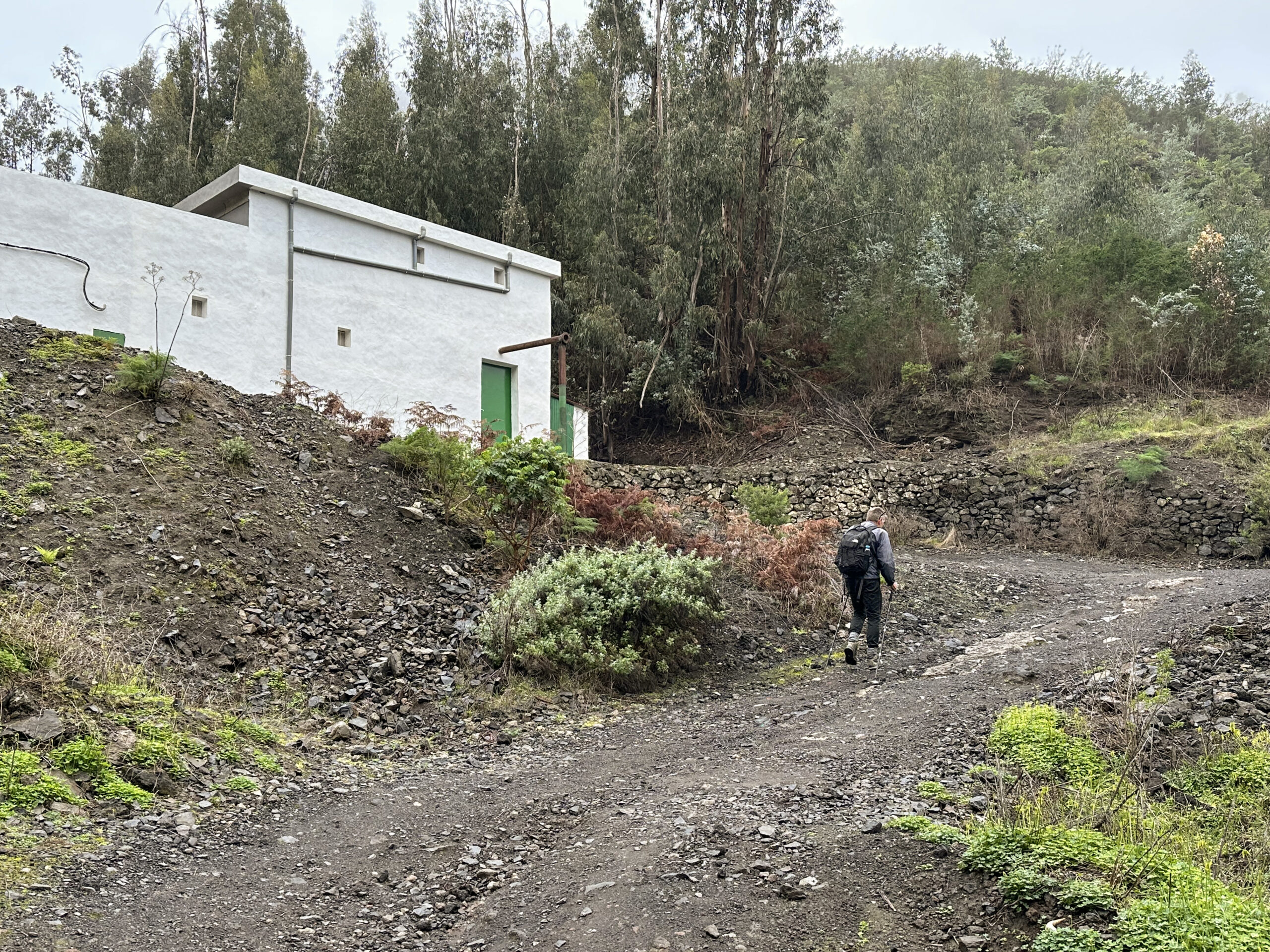
Route Section Pozo La Solana to Barranco del Agua (Galería)
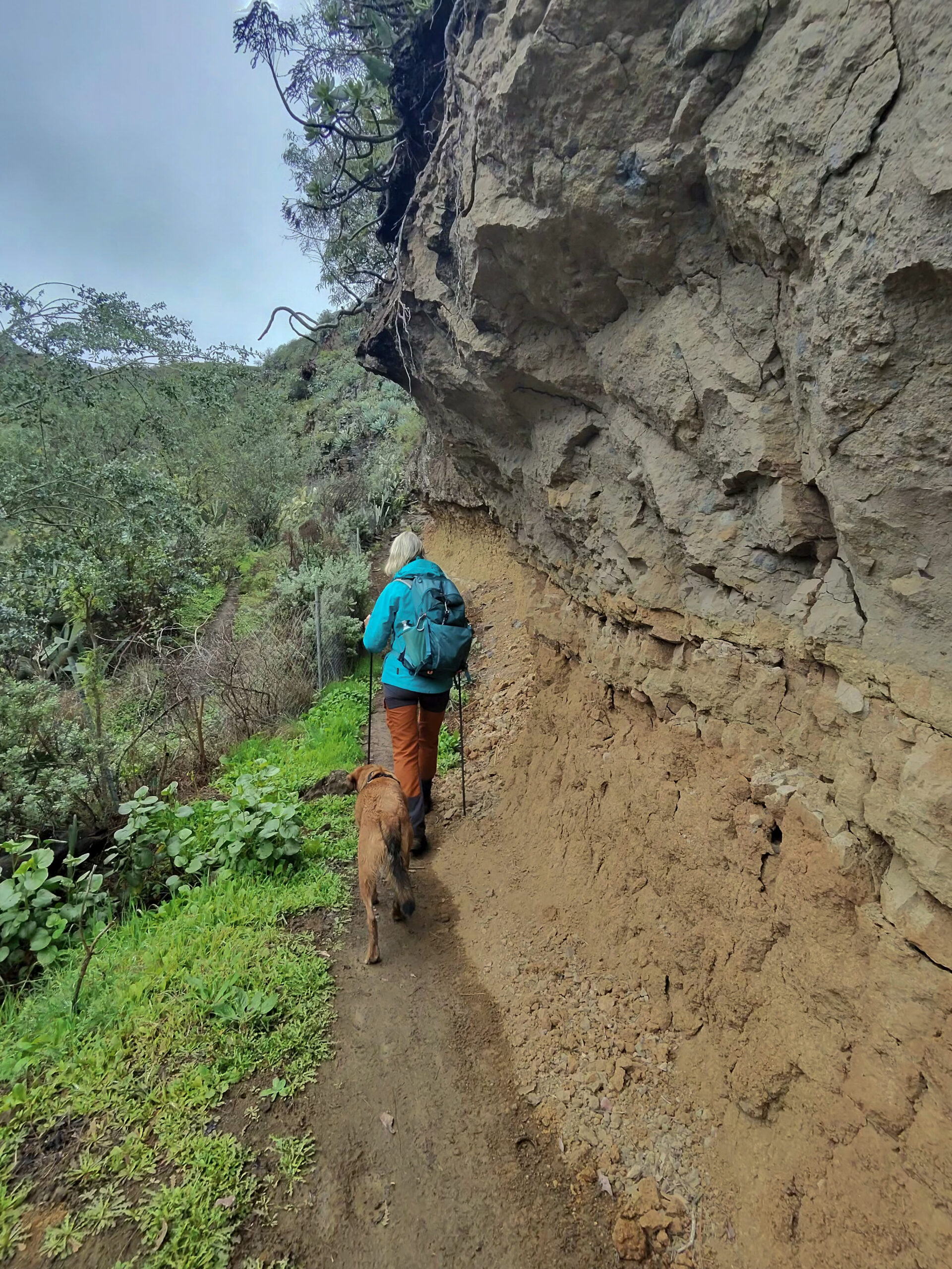
At the Pozo de Solana, you meet the track of the hike Cuevas de Caballero (return route). There, the descent through the Barranco del Agua is described. Now, however, the route climbs, which is not always easy to find. First, at the bend in the road, turn right onto the hiking trail. You pass the Pozo La Solana, which lies on your right. For a short while, continue along the wide path and reach the bottom of the Barranco del Agua, which is on your right-hand side. Cross it via a narrow path to the right.
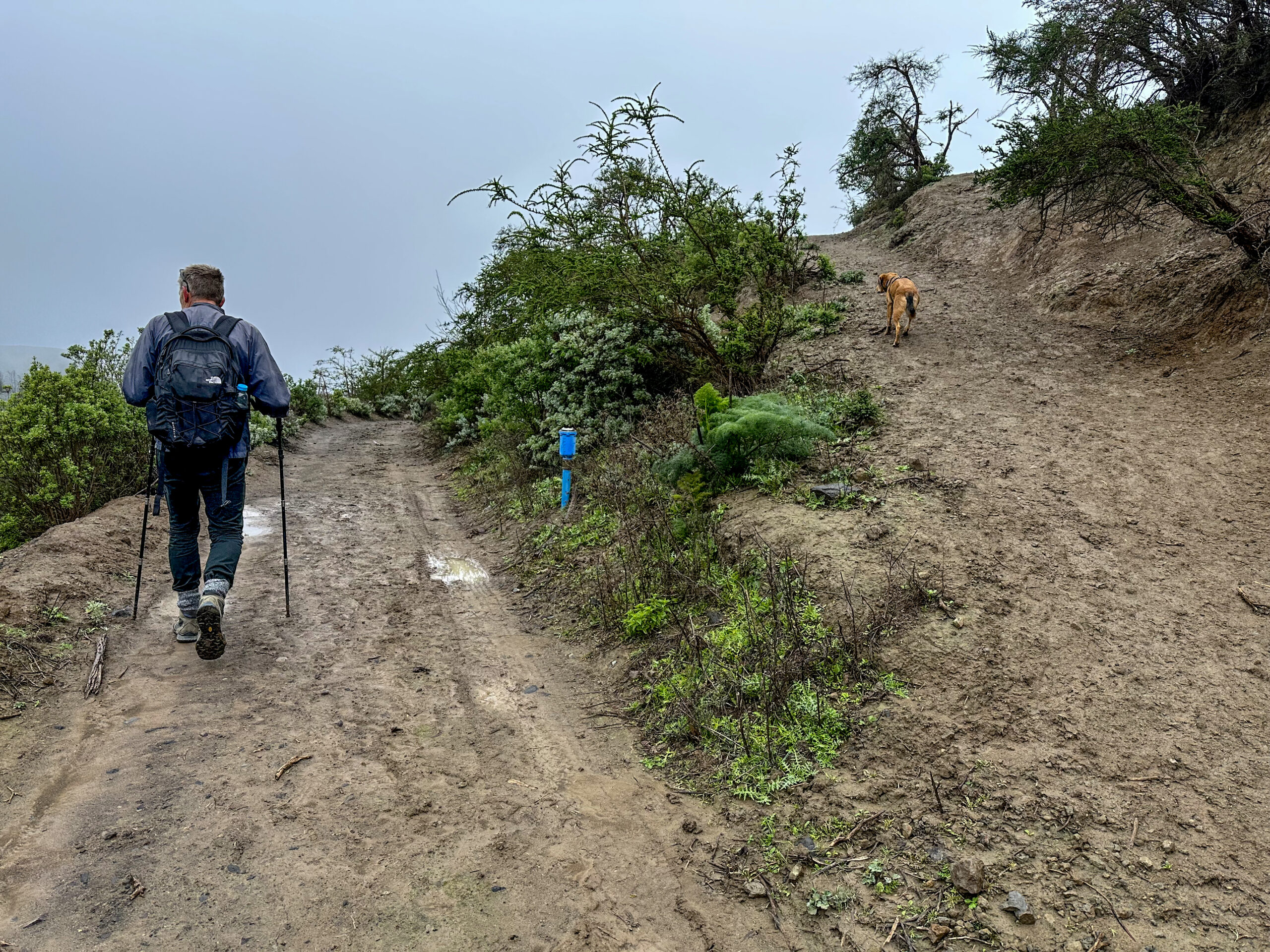
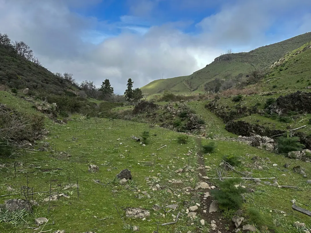
On the other side, climb up to a narrow trail. From here, the path partly continues without clear tracks, over green meadows and rocky scrubland. Keep orienting yourself by the course of the gorge, which remains on your left. On our return route from Artenara, we once ended up on the left side, which you can also walk on. However, the route on the right side is better. After passing grazing land (sometimes with sheep), you reach a more forested area and continue to follow the course of the Barranco. After a while, you will see an old galería (water gallery) above you, which you ascend to.
Route Section Barranco del Agua (Galería) to Pozo Aquavia II
Before the galería, you cross the Barranco and, by the galería, join a solid forest road again. You can follow the wide switchbacks further uphill or take shortcuts straight up. However, these shortcuts are not recommended in heavy rain due to the risk of slipping. At one of the switchbacks, a trail branches off inconspicuously to the right (hike Cuevas de Caballero). However, you continue along the switchbacks and reach a wide forest track at the top. Follow this to the left.
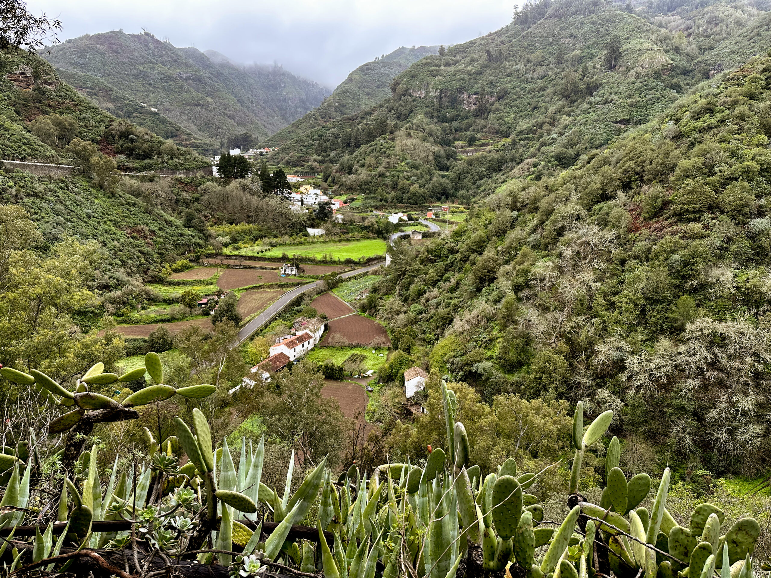
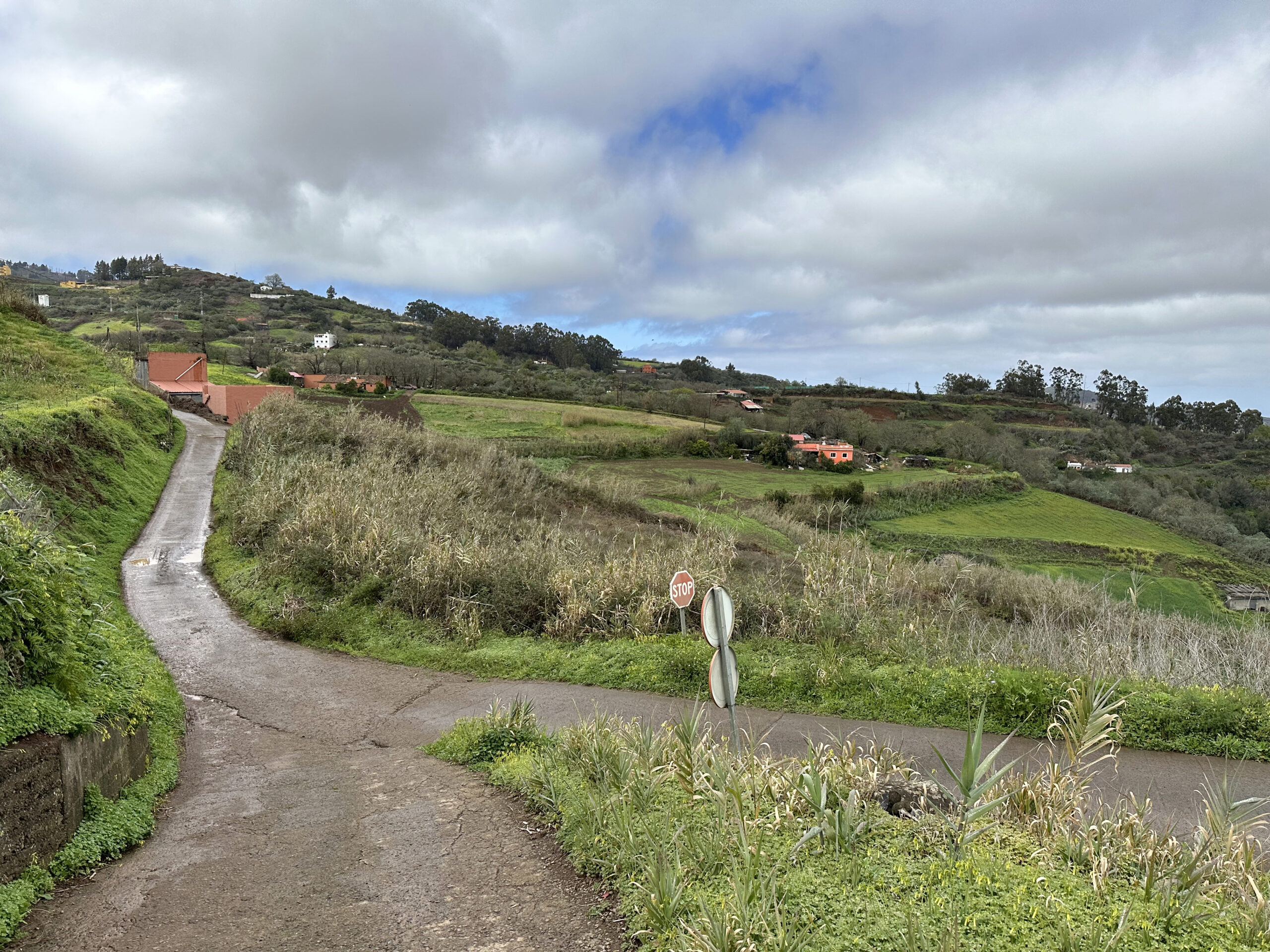
Continue a bit higher through the forest on the forest track, and soon you will reach the highest point of your hike. Shortly afterwards, descend in wide switchbacks with beautiful views over the vast green landscape and small hamlets. At the bottom, turn right at the junction. Ignore all branching paths. At the next major junction, keep right again. At yet another fork, turn right again in the direction of Valsendero. You descend on a rough forest road through wooded terrain. After a while, you pass the Pozo Aquavia II on your left.
Route Section Pozo Aquavia II to Trail Junction Valsendero
From here, the route is unmistakable. Simply continue downhill along the forest road and ignore all branching paths. I once even drove this route by car. Due to the uneven surface, even with a four-wheel drive it remained a one-off attempt. However, the path is well-suited for hiking. You descend quickly and reach the road Lugar Valsendero, which you follow further. Soon you arrive at the first houses of Valsendero. You can continue along the road or take the hiking trail as a shortcut on the right past the houses.
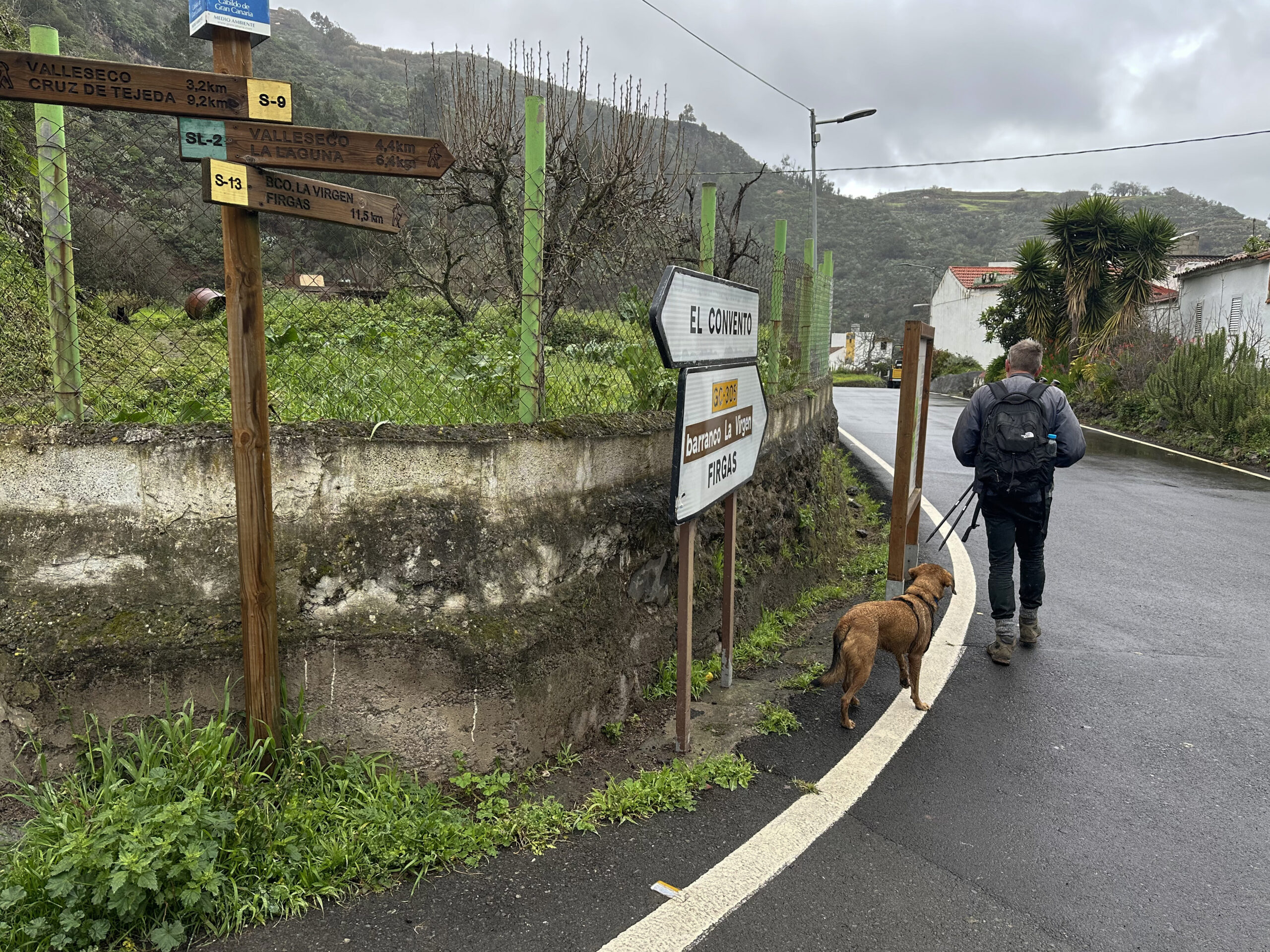
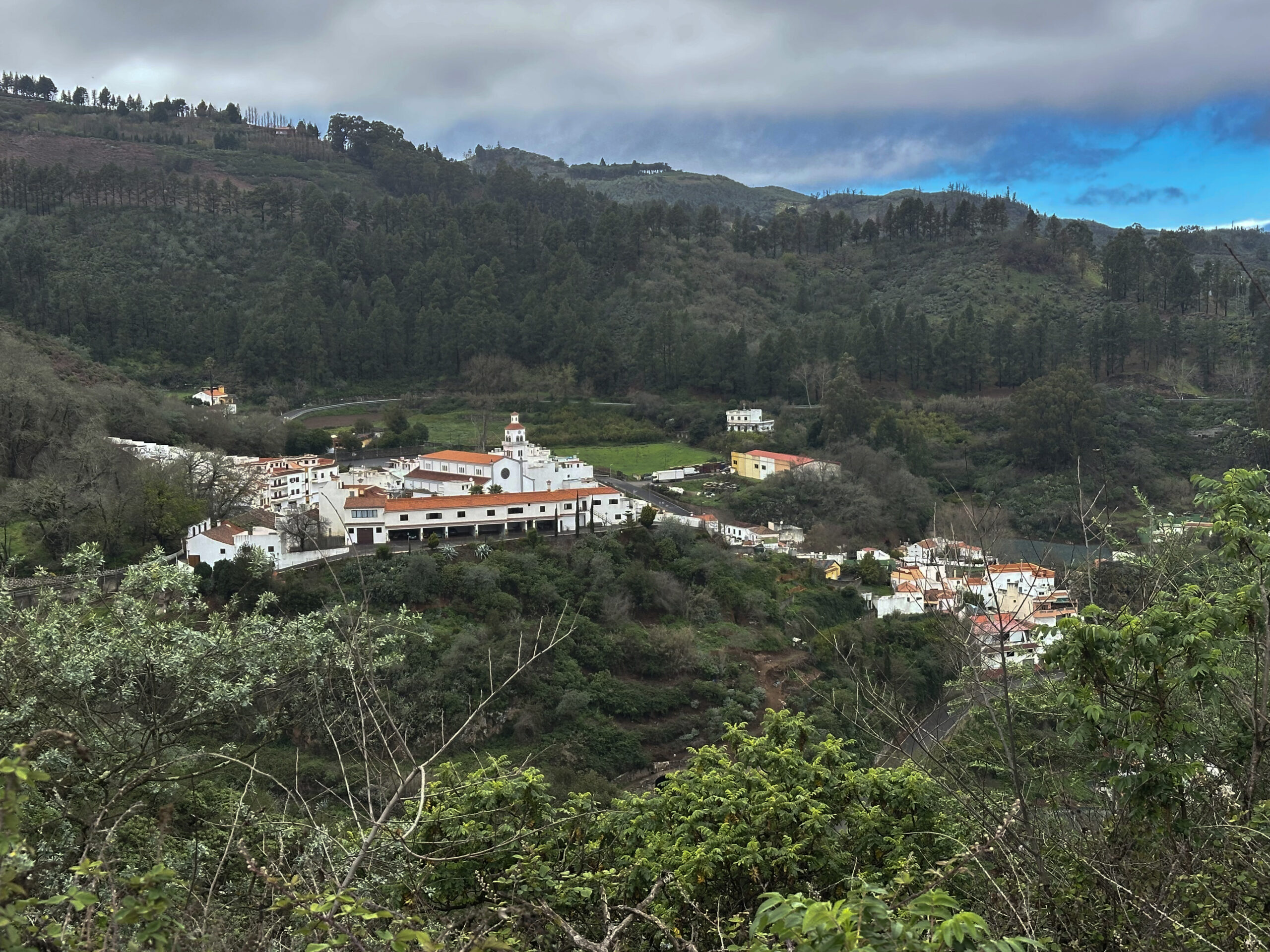
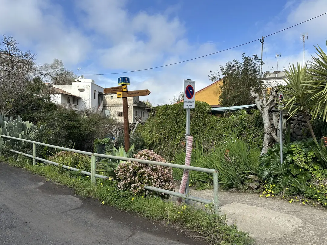
Both routes come together again. After a while, you reach the starting point of the Valleseco hike. The path to Valleseco branches off to the right, while you continue straight along the GC-305 through the village. This is also a good opportunity to take a look at the village in peace. After the last houses of Valsendero, continue a little further along the GC-305. Then two paths branch off uphill to the left. Take the one on the right and turn left again at the next fork.
Route Section Trail Junction Valsendero to Small Hamlet
Now it’s steeply uphill again. If there aren’t too many clouds, you can enjoy magnificent views from the steep ascent. The path first leads you along rocks and fences and later uphill through forested terrain. Almost at the top, you reach a road near houses, which you follow to the right uphill. After a short time, this road merges into the Camino Convento, where you continue to the right.
At a junction, continue left on the Camino Convento. You now walk straight ahead for a while and can enjoy great views from this height. You pass houses and fields. At a fork, leave the Camino Convento to the right and continue on the Camino El Tablero, which leads you through several ravines and wooded areas down and then up again. At the next fork, keep right. This brings you to a small hamlet.
Route Section Small Hamlet to Fontanales
In the small hamlet, continue along the Camino Tablero to the left. This merges into the Camino Lomo el Marco, which you follow to the left only briefly. Here, you already stand at the edge of the wide valley below Fontanales and can see the village down below. For this last stretch, the path is identical to the hike Los Tilos.
Now the trail branches off steeply downhill into the forest once again. You walk above the cheese dairy Madre Viaja along the trail. Eventually, the trail leads between houses onto the Camino Aguas de Fontanales. Turn right onto the road and cross the Barranco del Agua one last time that day. At a fork, keep left and follow the Calle Montañeta de Fontanales. This leads you first down to the GC-75 in Fontanales and then across the road back down to the starting point of your hike, the village centre of Fontanales.
And finally
I hope you enjoyed this hike in the green north of Gran Canaria, which can be well combined with neighbouring routes. I wish you much joy on all your hikes,
Dagmar from SiebenInseln