Reserva Natural Especial Los Tilos de Moya
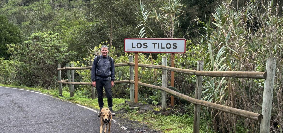
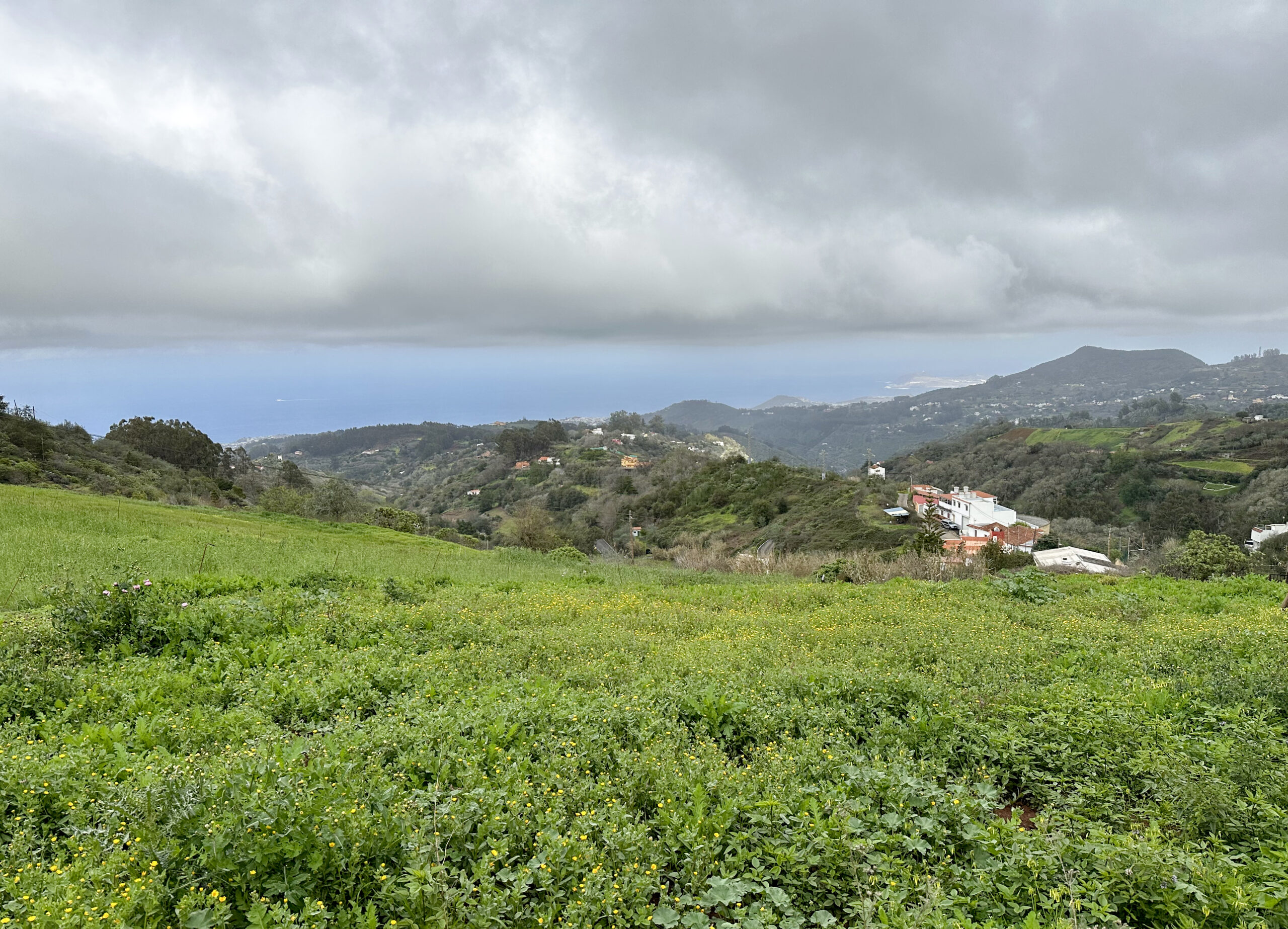
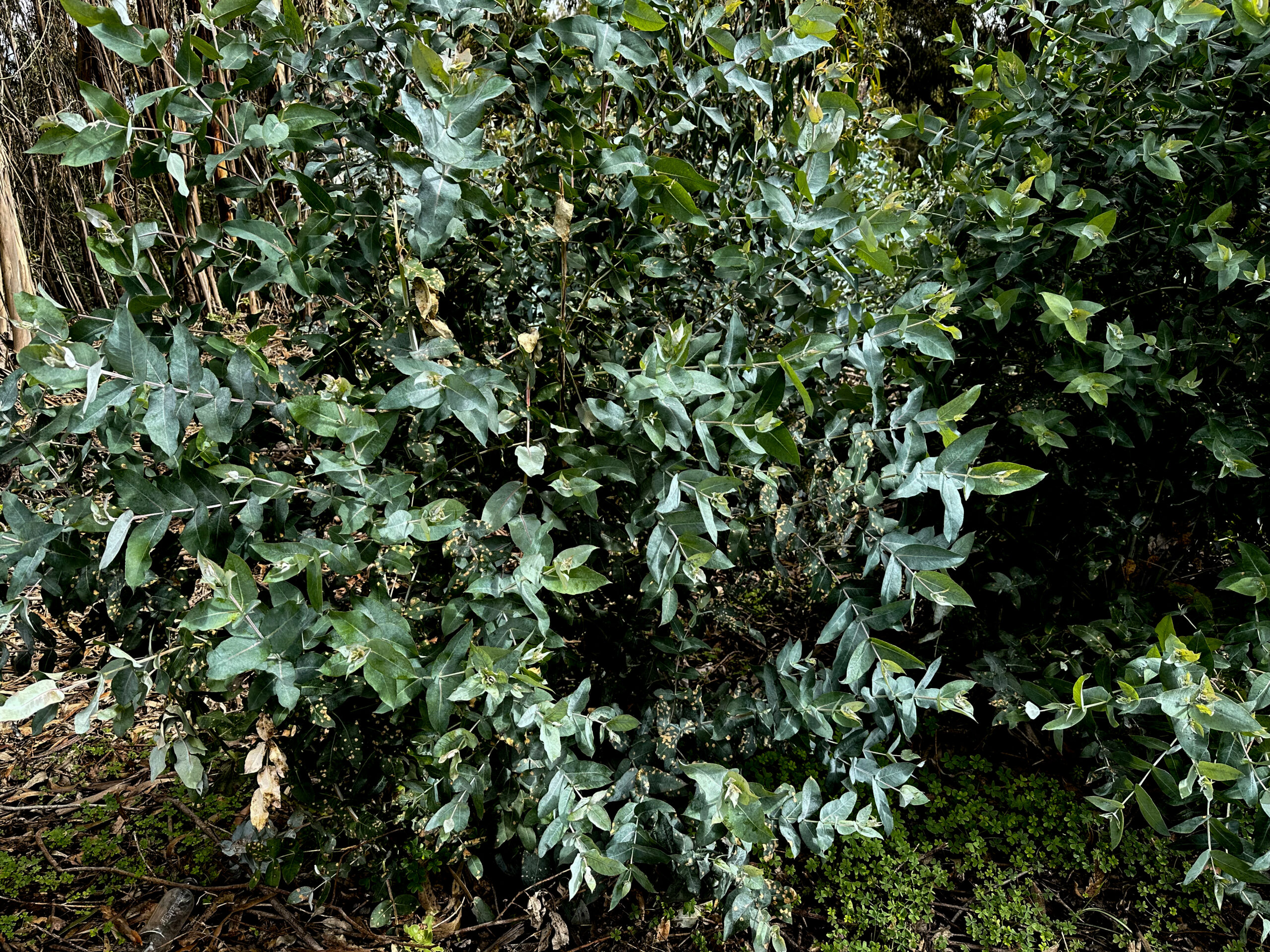
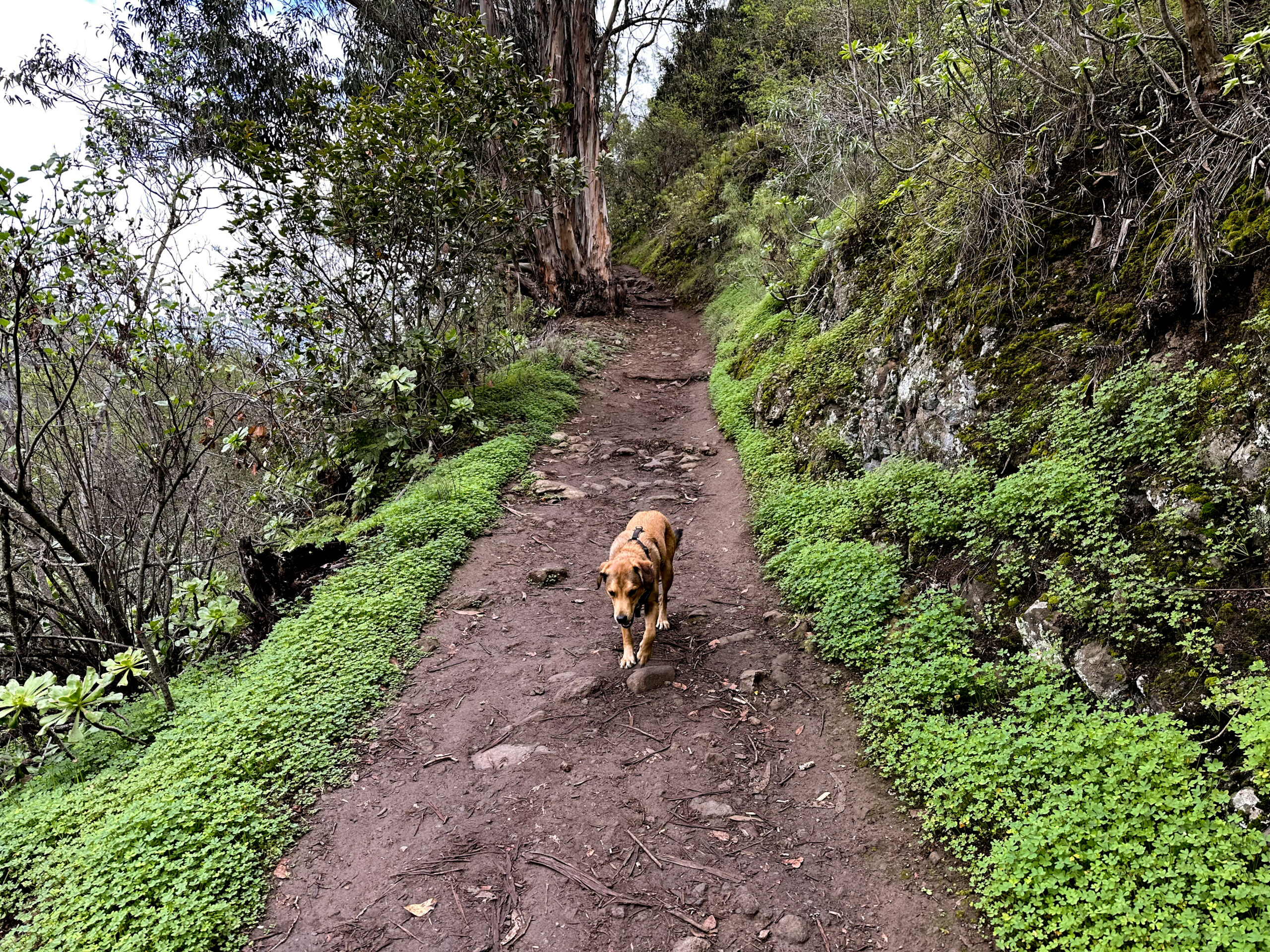
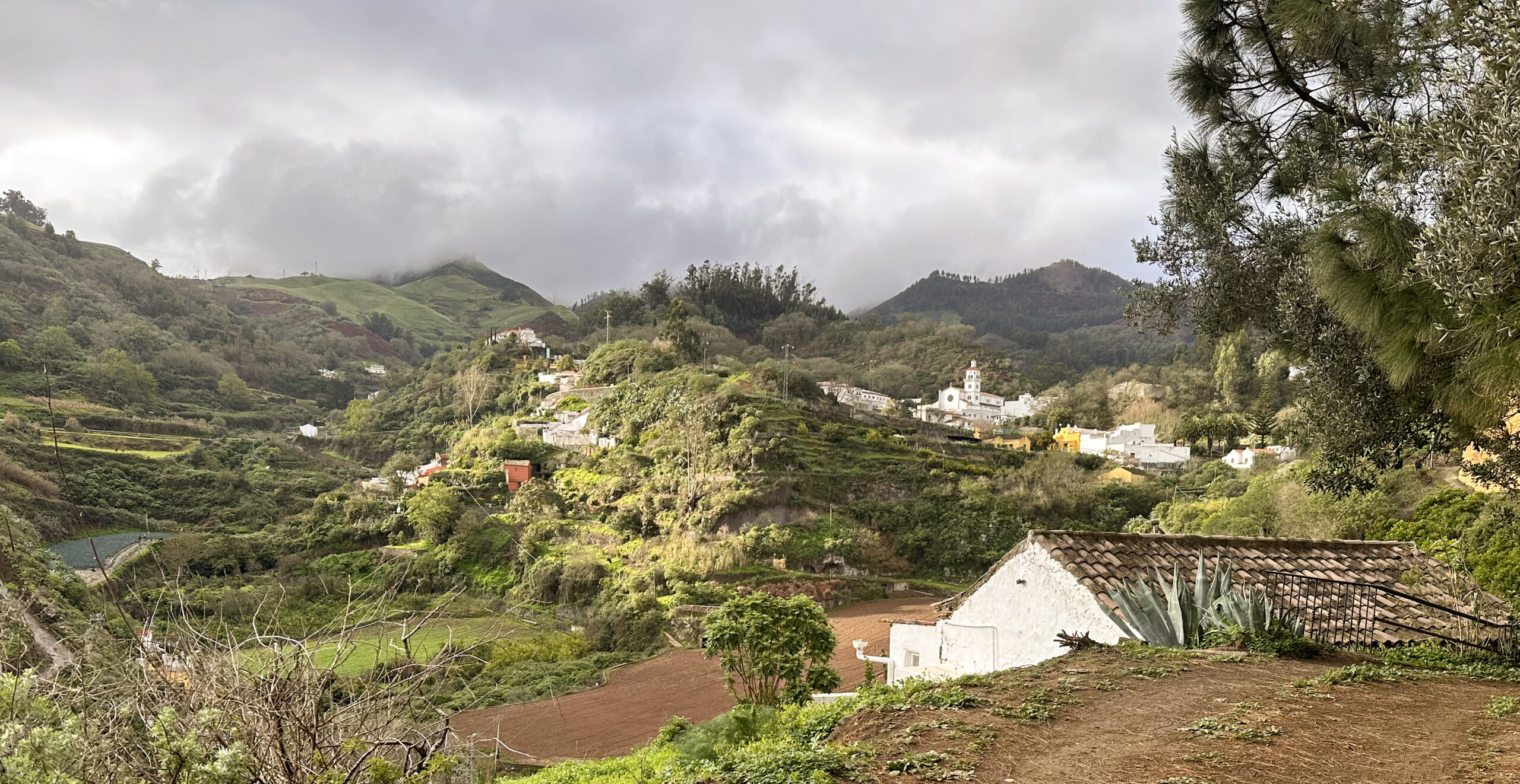
The Reserva Natural Especial Los Tilos is home to some of the last remaining subtropical laurel forests (laurisilva) on Gran Canaria. Once, the laurel forest covered large parts of the island, but today it has been reduced to around 91 hectares. This protected forest is part of the Doramas Rural Park and has been designated as a “Reserva Natural Especial” since 1994. The forest is located in the humid El Laurel ravine at an altitude of 500–800 metres and is often shrouded in trade wind mist. As you can see in the photos, the weather was also grey and cloudy on the day we hiked there. The mist condenses on the leaves and feeds the soil, creating a magical, evergreen climate. I almost felt as if I were in a prehistoric forest, before humans dominated the planet.
The vegetation in the Reserva Natural Especial Los Tilos de Moya includes trees such as Ocotea foetens (“Til”), Laurus nobilis, Picconia, Myrica faya as well as numerous ferns, mosses and over 35 highly endangered endemic species – for example Isoplexis chalcantha (“Cresta de gallo”) and Sideritis discolor. The forest provides a habitat for numerous bird species – chaffinches, robins, warblers and six birds of prey (kestrel, buzzard, sparrowhawk, Barbary falcon, tawny owl and barn owl).
Casa de Los Tilos
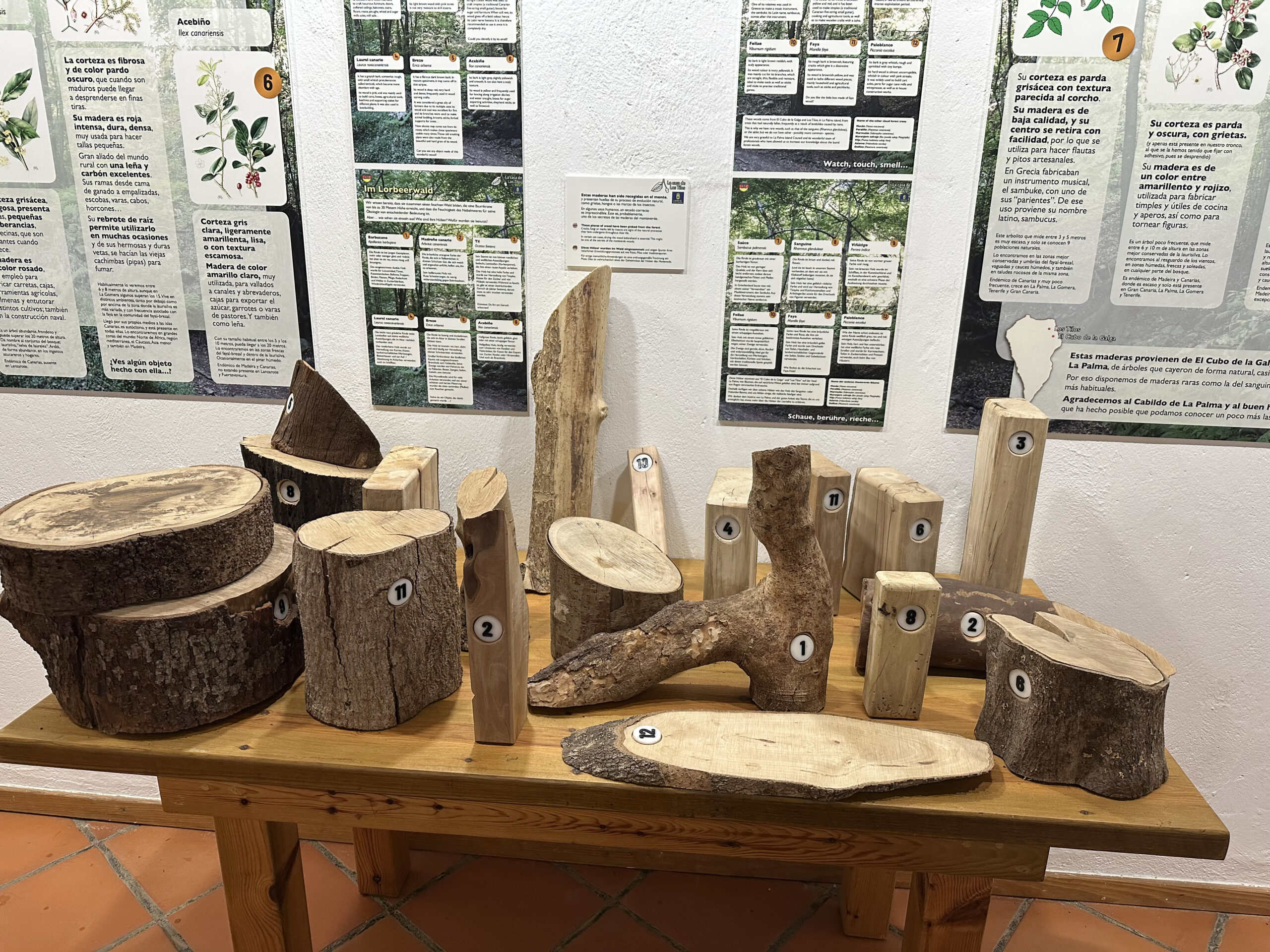
Lizards (e.g. giant lizards) and geckos roam along the damp paths. In the interpretation centre “Casa de Los Tilos”, visitors can learn which plant and animal species inhabit the Reserva, as well as the history of the forest’s protection. Reforestation programmes have been underway since the 1980s. Biologists estimate that it will take around another 250 years before a complete ecosystem is restored. From the visitor centre “Casa de Los Tilos” (free admission, Mon–Fri 8 a.m.–2 p.m.), even untrained walkers can take short walks of about 1.8–2 km into the Reserva Natural Especial Los Tilos de Moya. Many information boards line the paths.
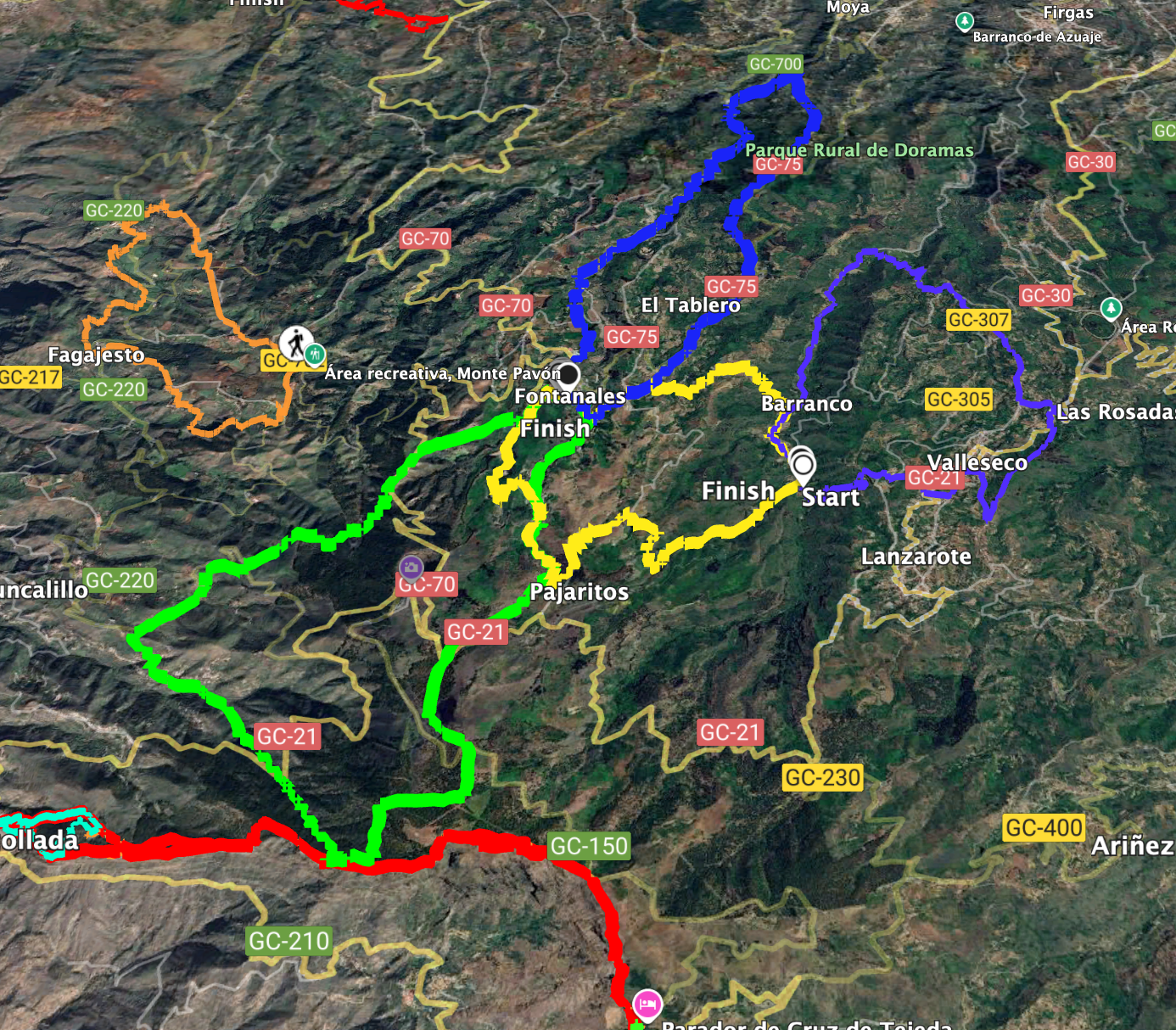
Hike from Las Fontanales to the Reserva Natural Especial Los Tilos de Moya
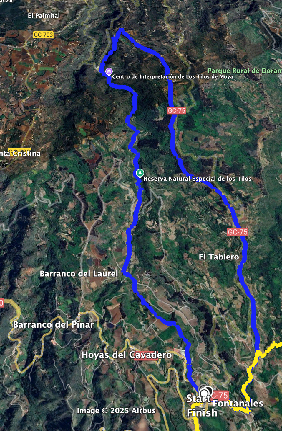
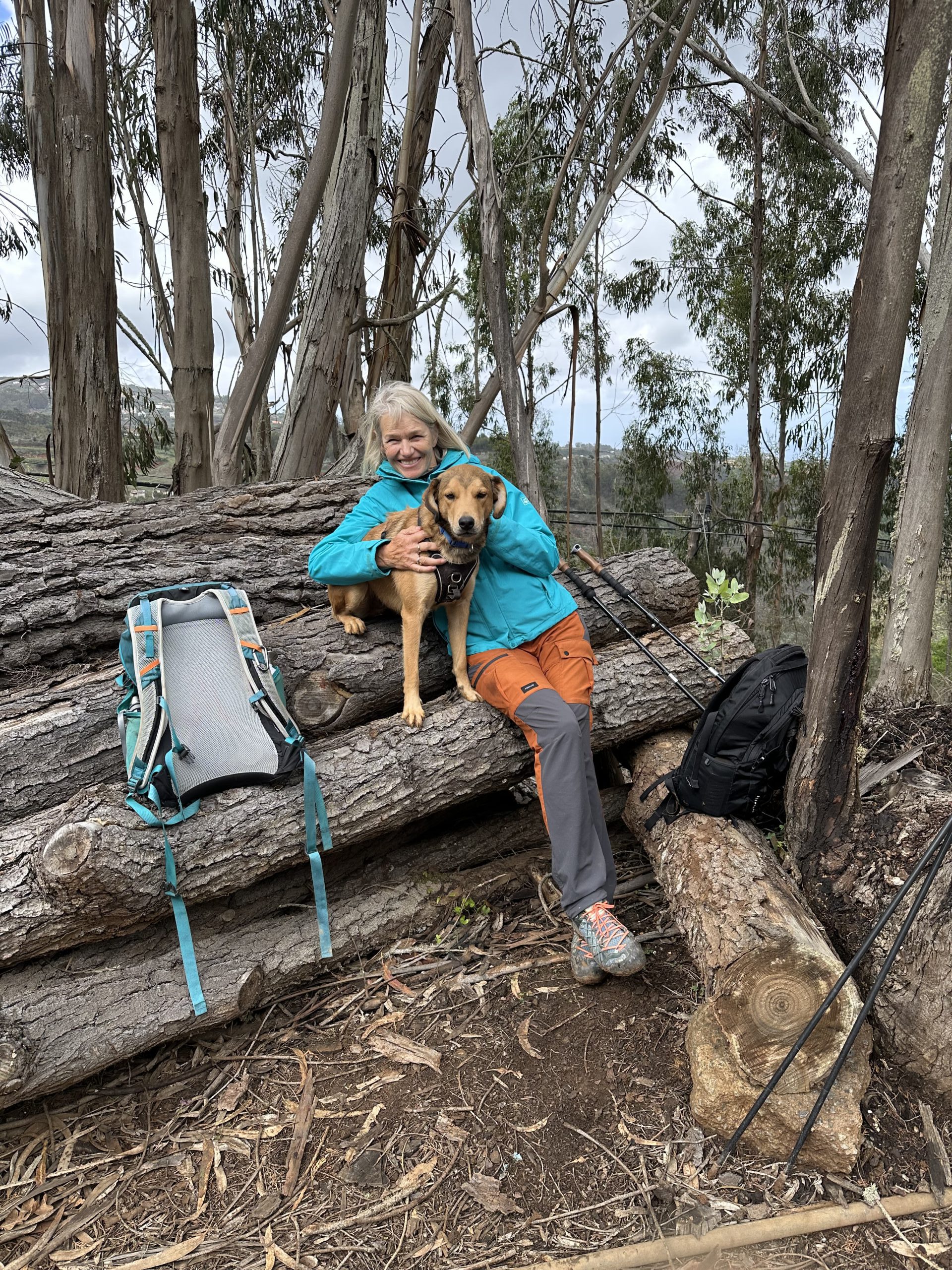
As we were staying in the village of Fontanales for a week, we started the hike from there. This created a beautiful circular route leading down into the Reserva Natural Especial Los Tilos de Moya. You pass through the impressive ravine in the nature reserve. Along the way, you can observe many animals and plants and eventually reach the paved paths of the interpretation centre. A visit to the centre is, of course, also recommended. We eventually crossed the ravine through the impressive laurel forest and hiked along the entire ridge back to Fontanales.
General information on the circular walk Fontanales – Reserva Natural Especial Los Tilos de Moya
Starting point and directions
The starting point of the hike is the centre of Fontanales at Plaza San Bartolomé.
Arrival by car
You can reach Fontanales by car either via the GC-70 or the GC-75. There are parking spaces in the village, but better ones are located directly on the GC-70.
Arrival by bus
Bus line 127 runs from Moya to Fontanales. Further details on bus connections can be found on the Guaguas Global website.
Time
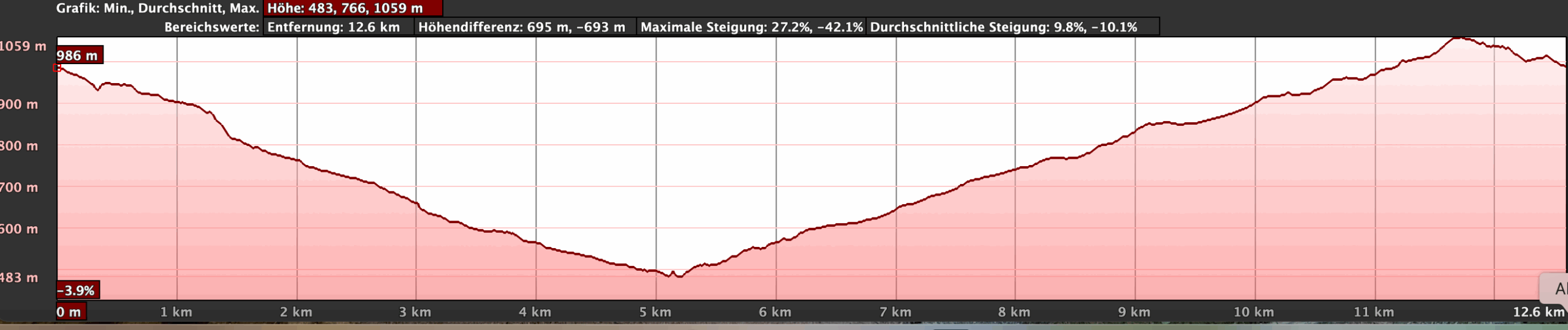
I am reluctant to give general time estimates for hiking tours, as times are very individual. We needed about 5 hours for this peaceful route, including breaks and an extensive visit to the interpretation centre. If you just want to walk the route and don’t wish to stop as much as we did, you can certainly complete it in a shorter time.
Elevation and distance
The difference in elevation is just under 600 metres and the route is about 14 kilometres long.
Difficulty
Throughout the entire route, you walk on good hiking or farm tracks.
Refreshments
You will find places to stop for refreshments at the starting point in Fontanales. I didn’t notice any bars along the route. But if you definitely want to stop, you may find a bar or restaurant in places close to the hiking trail. In any case, take sufficient water and possibly provisions with you.
Variants
If you are only interested in the Los Tilos interpretation centre, you can drive there directly and take a 1–2 km walk on the designated information trails. If you don’t want to do the full circular hike, you can simply walk one way from Fontanales down into the Reserva Natural Los Tilos de Moya and return by bus.
You can also find the following hikes on SiebenInseln, which can be easily combined with this hike:
Valsendero – through wild gorges and quiet villages
From Fontanales to the Cuevas de Caballero.
Valleseco – Varied Circular Hike in the Green North of Gran Canaria
Circular walk Fontanales – Reserva Natural Especial Los Tilos de Moya
Section Fontanales to GC-704
You start your hike in the centre of the small village of Fontanales at Plaza San Bartolomé. From there, you walk north to Calle La Fería. Follow it straight on, even when it meets the GC-70 after a short time. Shortly after, the Camino el Brezal turns off to the right from the GC-70. You pass the last houses of Fontanales and gradually reach the green area surrounding the village. Eventually, a small staircase path branches off to the left from the Camino el Brezal. Continue downhill past green fields and gardens. You also pass a large building (Granja Fontanales) at the back on a small path.
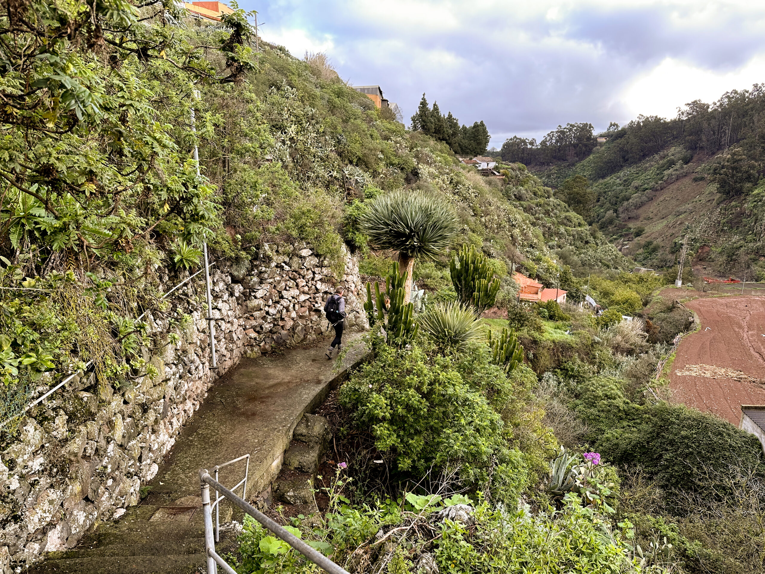
You then reach a small path, which you follow straight on. And then you walk through a wooded area below Fontanales. The path then runs along a field and eventually meets the small road GC-704 at the end of the field. Walk straight on along the road. At the first sharp bend in the road, turn left. For a short time, you follow a very small, narrow path downhill through the forest. This short section is the most unclear part of the hike. But you quickly reach a field on the right and rejoin the GC-704.
Section GC-704 to Reserva Natural Especial Los Tilos de Moya
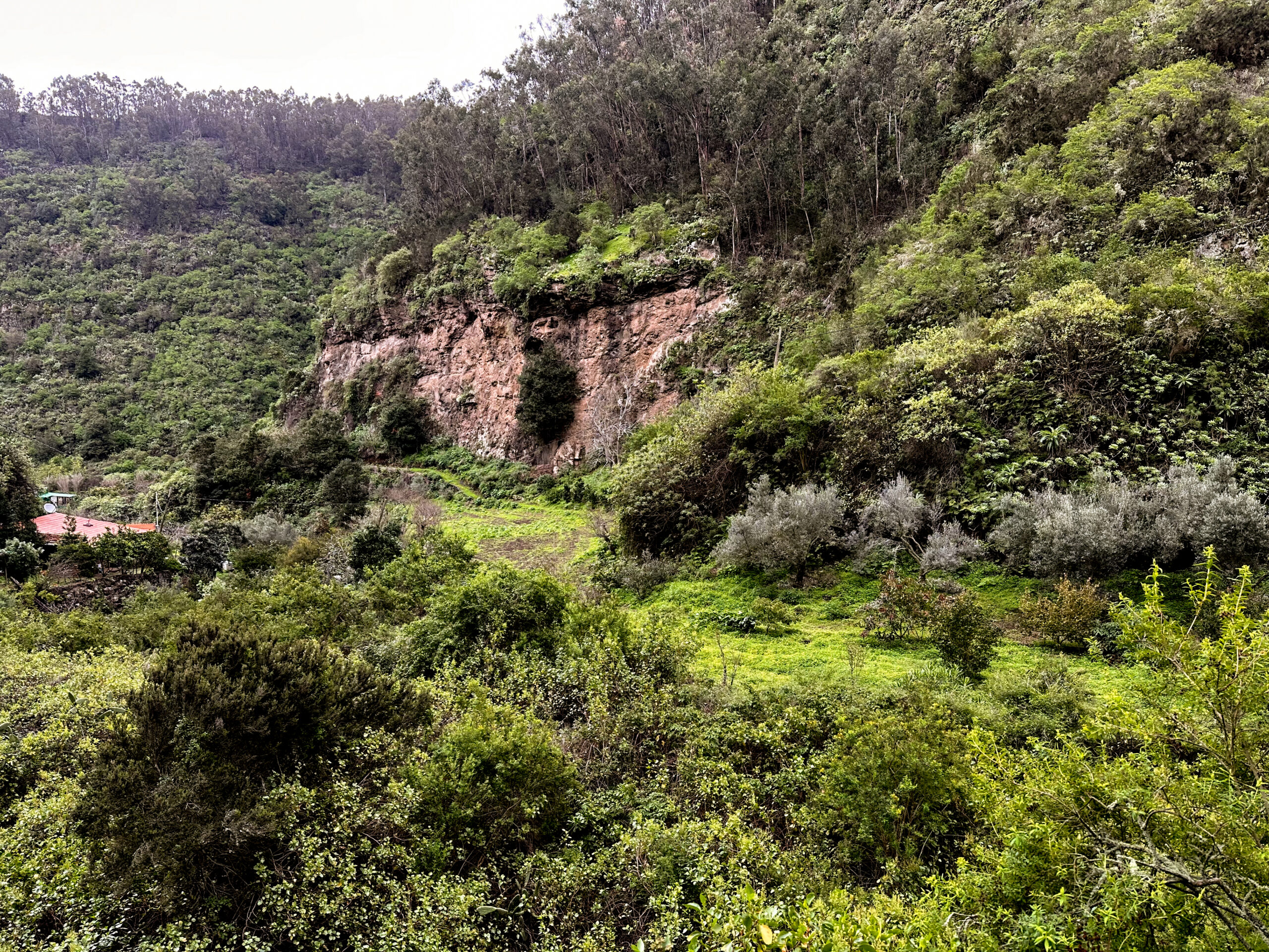
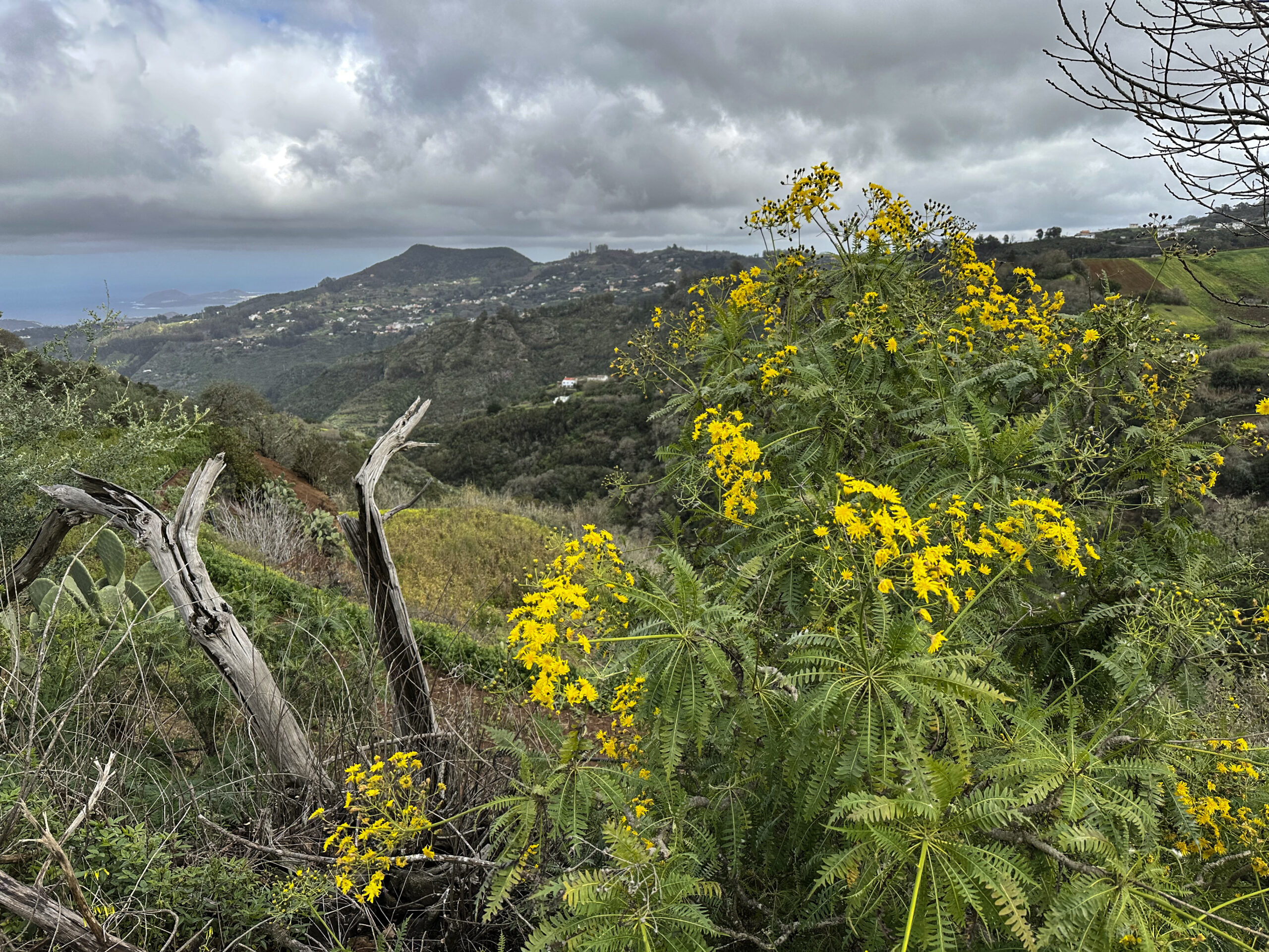
From now on, keep to the GC-704 to the left. There is virtually no traffic here and it’s a very pleasant route to walk. You pass small hamlets, individual farms, fields, meadows and woods. The path is very varied and gives you a good impression of Canarian rural life. To your right, next to the road, is already the Barranco del Laurel. The laurel forest on your right also moves closer to the hiking path.
Eventually, you pass the Ermita del Barranco del Laurel, located on the right side of the road. The ravine gradually narrows until, at 600 metres elevation, you reach the Reserva Natural Especial Los Tilos de Moya. Continue along the GC-704, which is called Camino Los Tilos here. The Barranco de los Tilos lies below you on the right. On the opposite side rise the mountains of the Hoya Oscura.
Section Reserva Natural Especial Los Tilos de Moya and Casa de Los Tilos
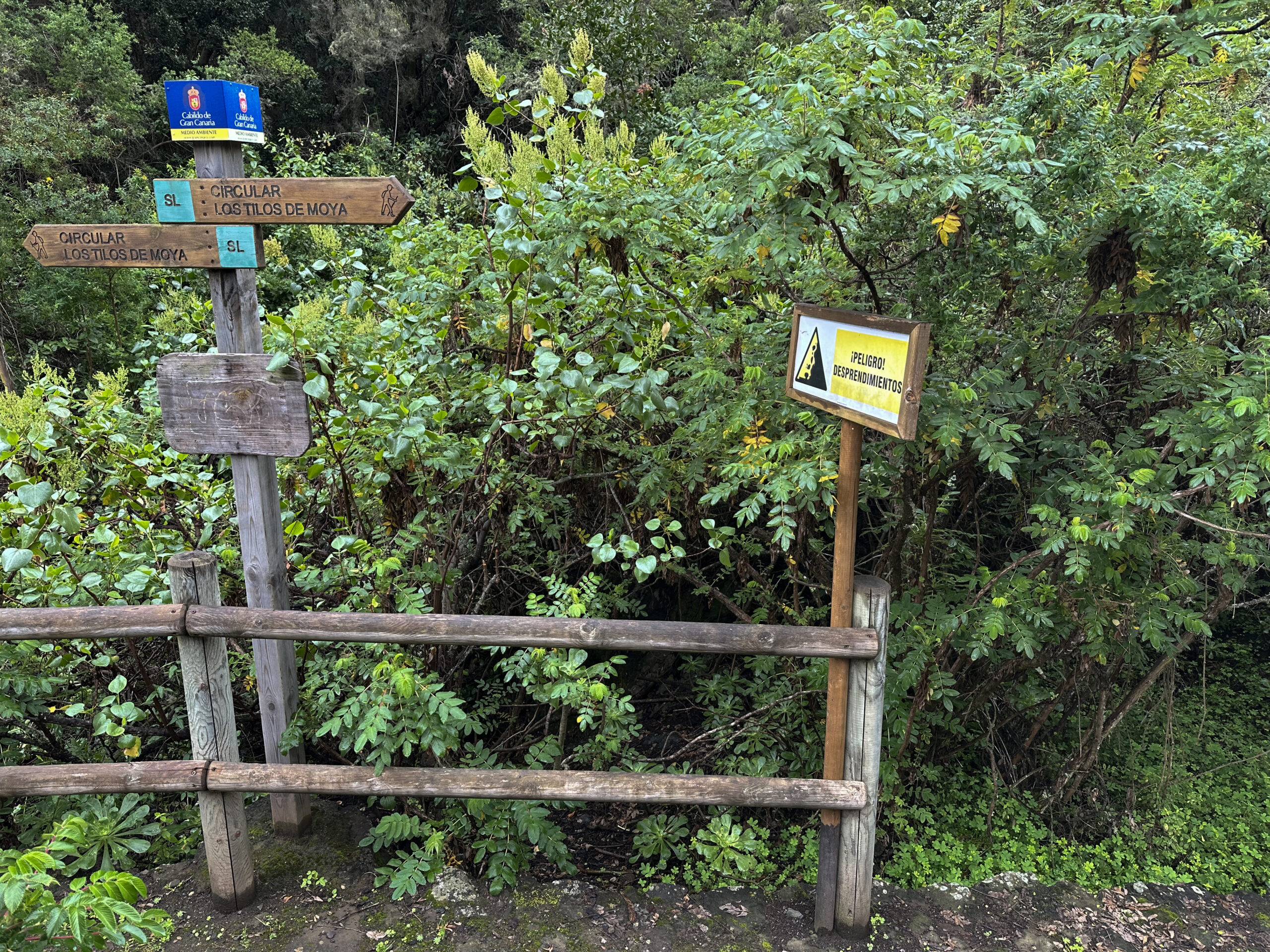
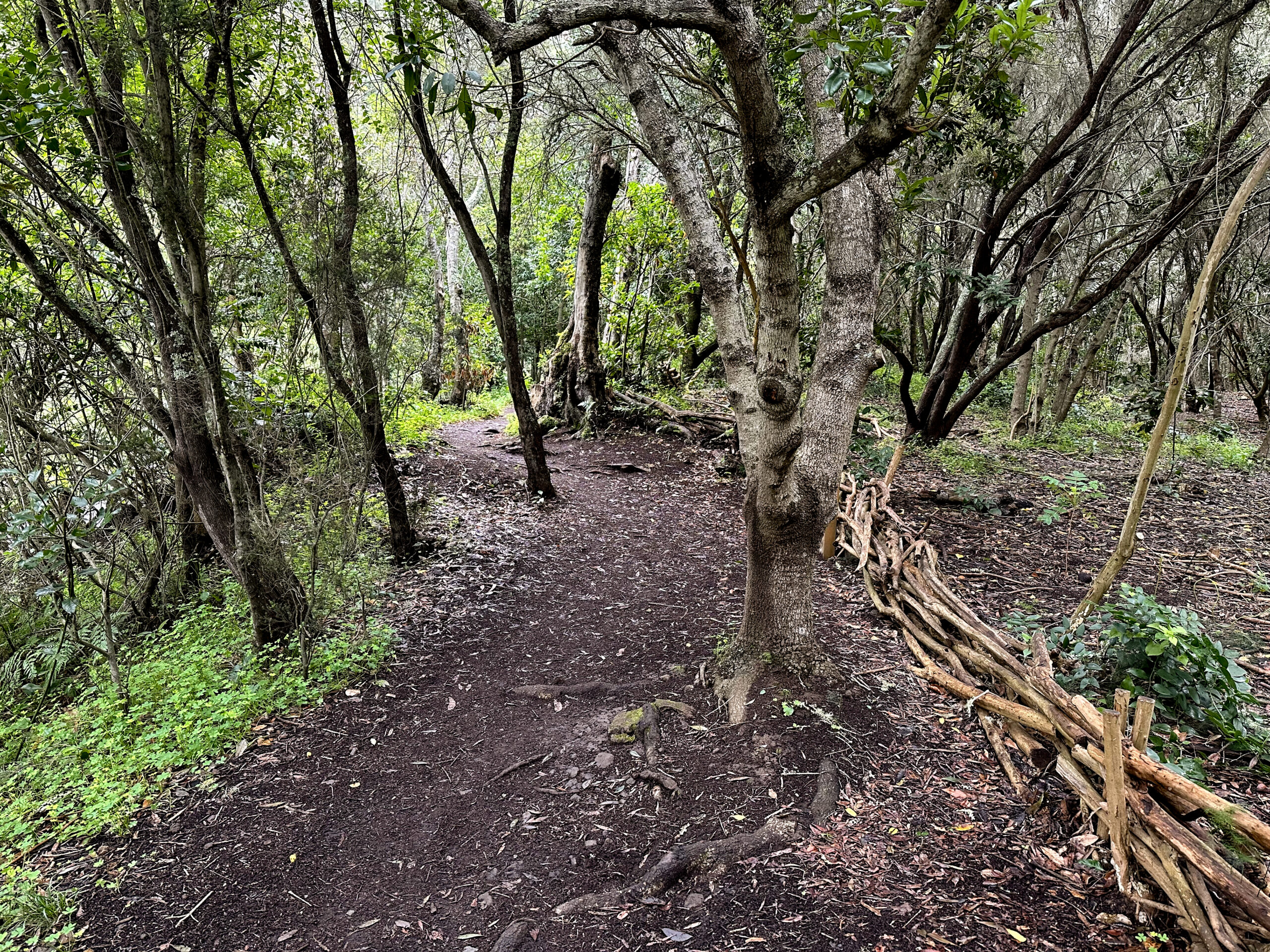
Eventually, you reach a small car park. This is where the laid-out Camino de la Laurisilva hiking trail begins, running parallel to the road through the green ravine to the interpretation centre. I would always recommend taking this path. Unfortunately, we couldn’t, as there had been heavy rain for several days prior to our visit and the path was very muddy. But the path along the road is also beautiful. And this way, you also have the opportunity to follow other laid-out hiking trails to the left of the road.
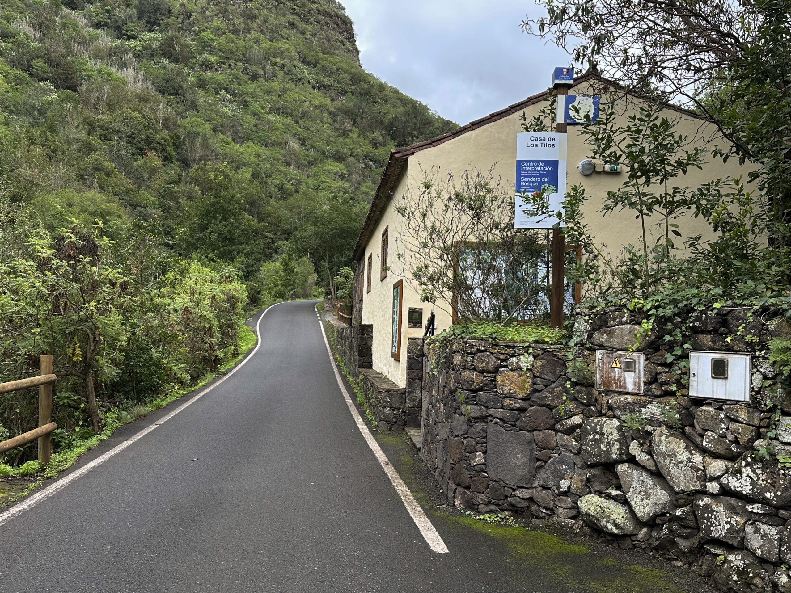
These begin shortly before the interpretation centre and are also signposted as Camino de Laurisilva. Whichever route you choose – left, right or along the road – you will eventually reach Casa Los Tilos. And you should definitely visit it. Those unable to walk can even drive all the way there. Take your time to calmly explore everything about the Reserva Natural Especial Los Tilos de Moya. Then continue a short distance along the GC-704.
Section Casa de Los Tilos to GC-75
Shortly after Casa de Los Tilos, a hiking trail (S-08, C-28, SL) branches off to the right. Here you hike uphill along the mountain with beautiful views to the left. Shortly afterwards, the SL Laurisilva hiking trail branches off to the right. You could emerge here if you came from the road via the aforementioned Camino Laurisilva. To complete a circular route, continue climbing. After the beautiful ascent through the laurel forest, you reach a small road (Camino de San Fernando).
Turn right onto this road and shortly after pass through the small hamlet of San Fernando Moya. Now follow the Camino for quite a while, which you can soon shortcut over a hill, before rejoining it. The path more or less follows the ridge, allowing you to enjoy beautiful views of the wide landscape on both sides. Along the roadside, you get a feel for village life on Gran Canaria. Eventually, the Camino San Fernando ends at the GC-75 road.
Section GC-75 to Fontanales
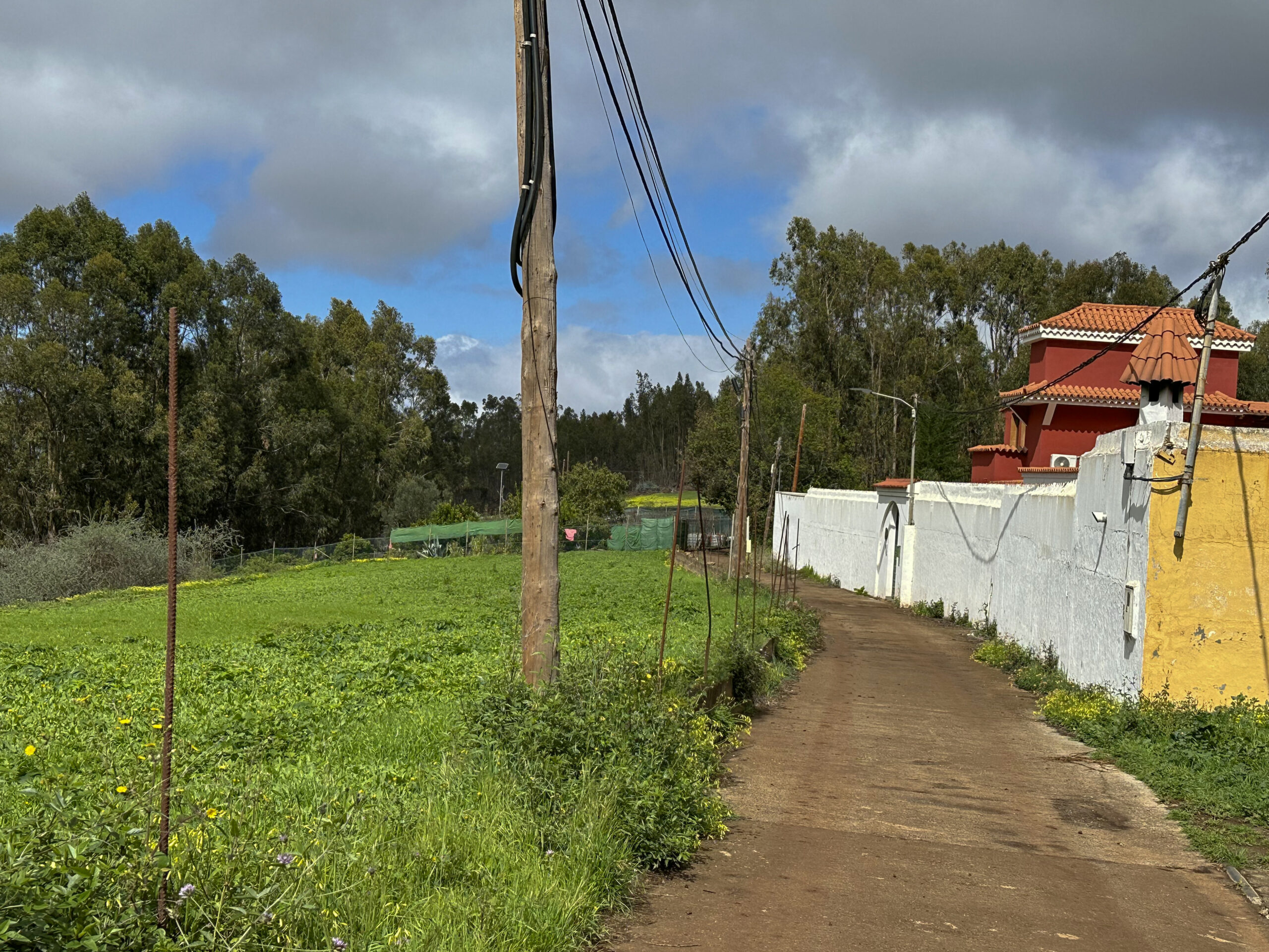
Do not go down to the GC-75, but pass it on the right and reach a wide farm track. This leads you uphill through the forest. When we walked there, it was quite muddy due to recent heavy rains, but that is not always the case. Follow this path straight on for quite a while. You then reach a small road, which soon becomes the Camino Corvo. On this path, you walk through another small hamlet with charming Canarian houses. You reach the GC-75 again, which you cross.
After crossing the GC-75, continue uphill to the left on the Camino Corvo hiking trail. You continue through small hamlets, fields and gardens with lovely views over the wide countryside. Further on, the trail is easy to follow, as it always runs parallel above the GC-75. After a while, the path passes the Quesería Artesanal La Solana on the right. Continue along the road from there. Then you reach the edge of the wide valley below Fontanales, and you can already see Fontanales below.
The path now turns right downhill into the forest again. You walk past another cheese dairy above. Eventually, the trail joins the Camino Aguas de Fontanales between houses. Turn right onto the road and cross the Barranco Agua. At a fork, keep left and follow Calle Montañeta de Fontanales. This first takes you down to the GC-75 in Fontanales and then across the road back to the starting point of your hike, the centre of Fontanales.
And finally
I hope you enjoyed this peaceful walk from Fontanales through the Reserva Natural Especial Los Tilos de Moya. I wish you good hiking weather and lots of joy on all your hikes,
Dagmar from SiebenInseln