Aguamansa – La Crucita – Hike on a pilgrimage route
This hike on Tenerife from Aguamansa in the Orotava Valley to Cumbre Dorsal (Mirador La Crucita) is part of the Camino de Candelaria pilgrimage route. Every year from 14 August to 15 August (Assumption of the Virgin Mary), pilgrims walk up the 18.5-kilometre path in the Orotava Valley to Mirador La Crucita and on to the Black Madonna in Candelaria. When the pilgrims arrive exhausted on the square in front of the large church in Candelaria after a strenuous pilgrimage, the celebration of the Assumption of Mary begins first with a few glasses of wine.
Originally, the pilgrimage started from La Laguna in the north. But today the pilgrims mostly start in Aguamansa. I describe the first part of the route from Aguamansa to the Mirador La Crucita in this article. I described the rest of the way from La Crucita towards Candelaria in the article Pico Marcial. There, the way back from Pico Marcial took us along the pilgrims’ path down to Arafo via Güimar.
So after this description – if you want to hike the entire pilgrimage route – you will only be missing the section from Arafo to Candelaria. But the pilgrimage route is very well developed, well maintained and also very well signposted, so you should have no problems finding the rest of the way to the coastal town of Candelaria.

General information about the La Crucita hike
Starting point and approach
Starting point is a car park in a bend on the TF-21.
GPS data: 28.360722-16.496020 at about 1,100 metres altitude.
Approach by car
By car, from the north, take the TF-21 towards Teide. If you come via the Cañadas, at El Portillo take the TF-21 towards Orotava. At Aguamansa, take a bend in the road. There are plenty of parking spaces on the side of the road.
Approach by bus
The Titsa bus lines 345 and 346 stop directly at the starting point of the hike. The 345 comes from Puerto de la Cruz and the 346 from Orotava. For more information, visit the Titsa homepage.
Summary information about the article and a large selection of GPS hiking tracks are availableRegister now for my newsletter and get exclusive access to my collected GPS tracks as well as all short information about my articles.
Time
I don’t like to give general times for hiking tours, because the times are very individual. We needed about 4 hours and 30 minutes for this hike with an extensive rest at the summit.

Altitude difference and route length
The difference in altitude is just under 1000 metres and the route is about 9 kilometres long.
Requirement
Basically, this hike is not very long and also runs along very good paths. However, because of the many metres in altitude and the steep climbs, you should of course be in good shape.
Refreshment
There are no restaurants, bars or shops along the entire route. Therefore, take enough water and food with you if necessary.

Variantes
This tour can be combined well with various other hikes and circular walks in the Orotava Valley. Just have a look at the hikes to Montaña Limon and the Organos High Trail.
As described at the beginning, you can also continue on the Pilgrims’ Way and walk down to Candelaria on the east side. You can find a large part of this description here.

Hike Aguamansa – Mirador La Crucita
Route section Curve at Aguamansa to forest track Organos Hightrail
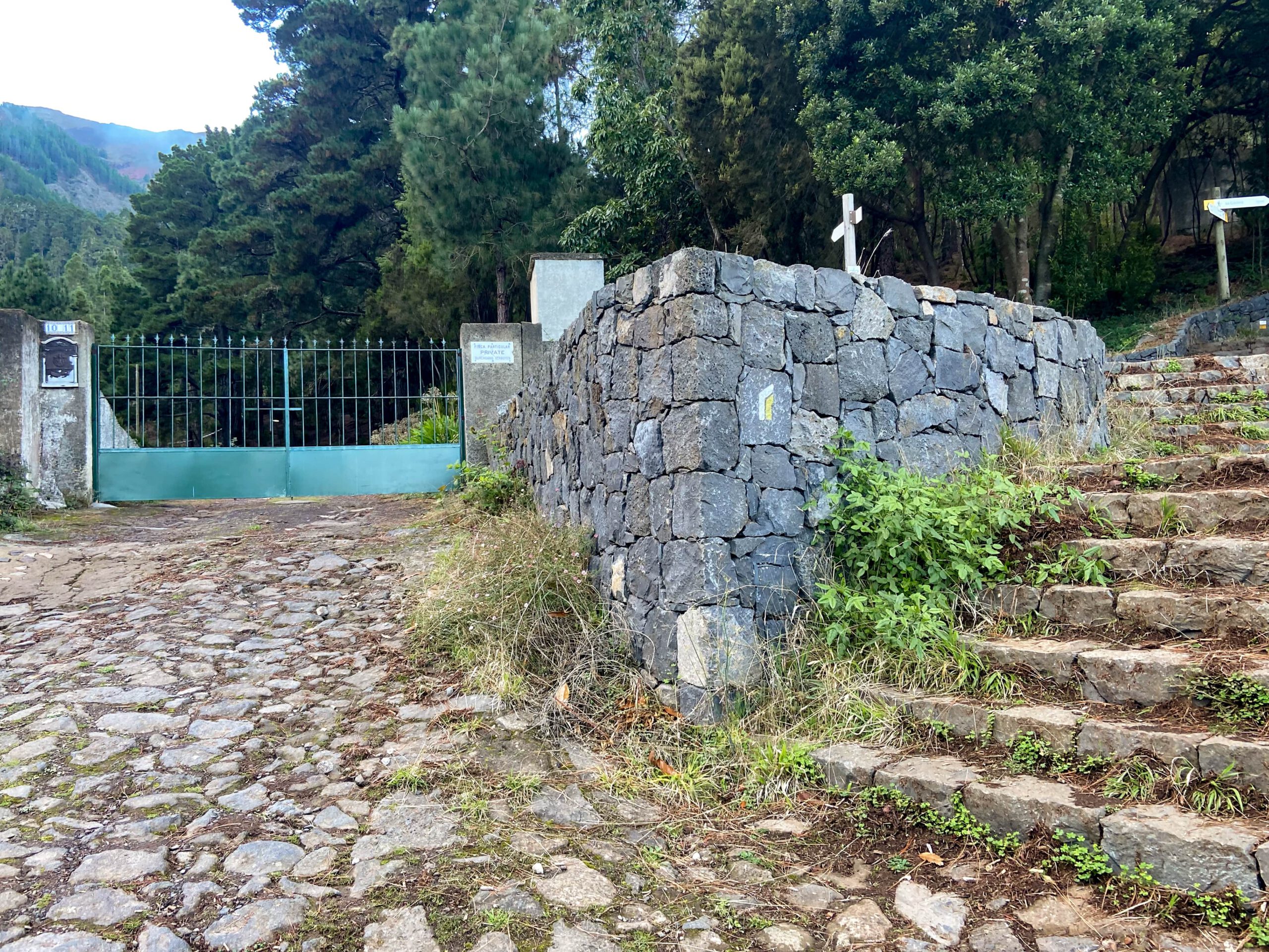
You start the hike at the bend described above on the TF 21. From here you walk past some old houses straight uphill through the forest. The path is signposted Camino de Candelaria. After a short while you will come to a small gorge, the Barranco de la Arena. This is on your left. You first walk on the hiking trail parallel to the barranco for a short while. Then the path leads you down to the left and across the barranco. On the other side you will come to a square with some buildings.
You can follow the path that goes past the buildings on the left in a wide arc. You can also follow a small path uphill to the right, as shown in the track photo. This way you shorten the long serpentine that you have to walk on the road a little. When you reach the road again after a short time uphill, cross it and continue straight ahead uphill on a small path through the forest. Eventually you will come to a wide forest track. This is the way to the Organos high trail.
Summary information about the article and a large selection of GPS hiking tracks are availableRegister now for my newsletter and get exclusive access to my collected GPS tracks as well as all short information about my articles.
Section of forest track Organos high trail to end of ridge and forest
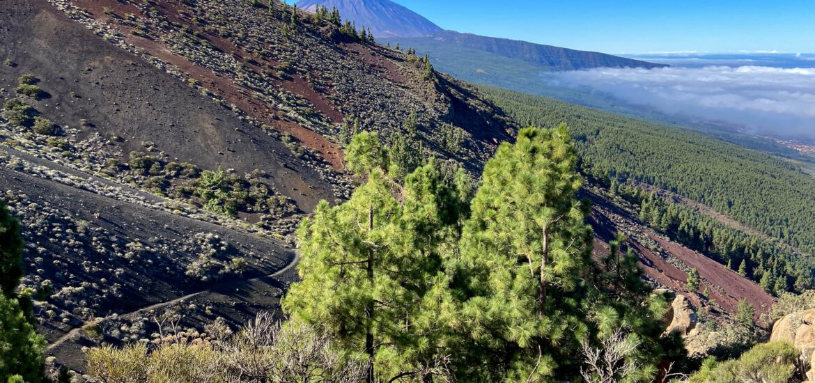
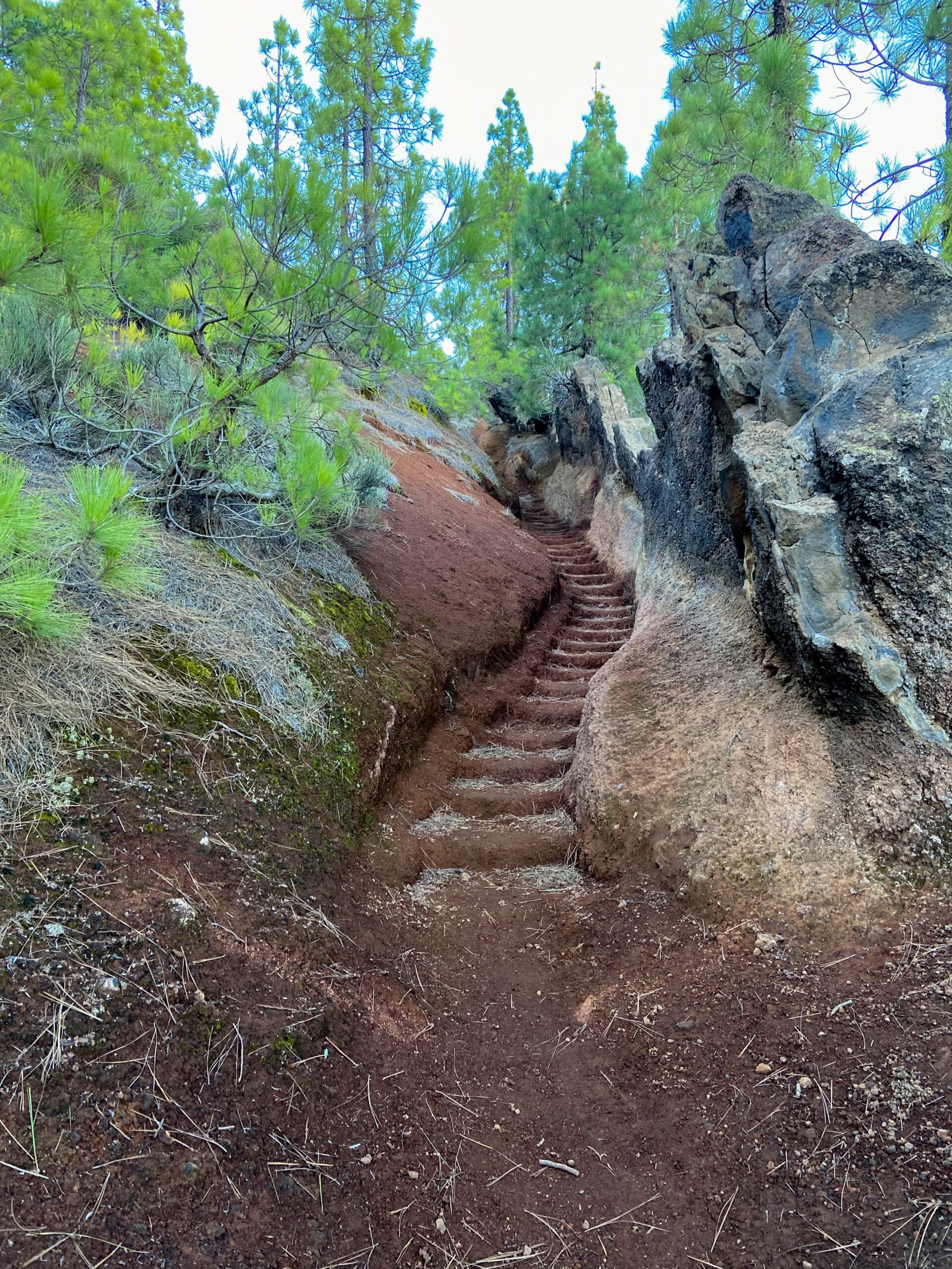
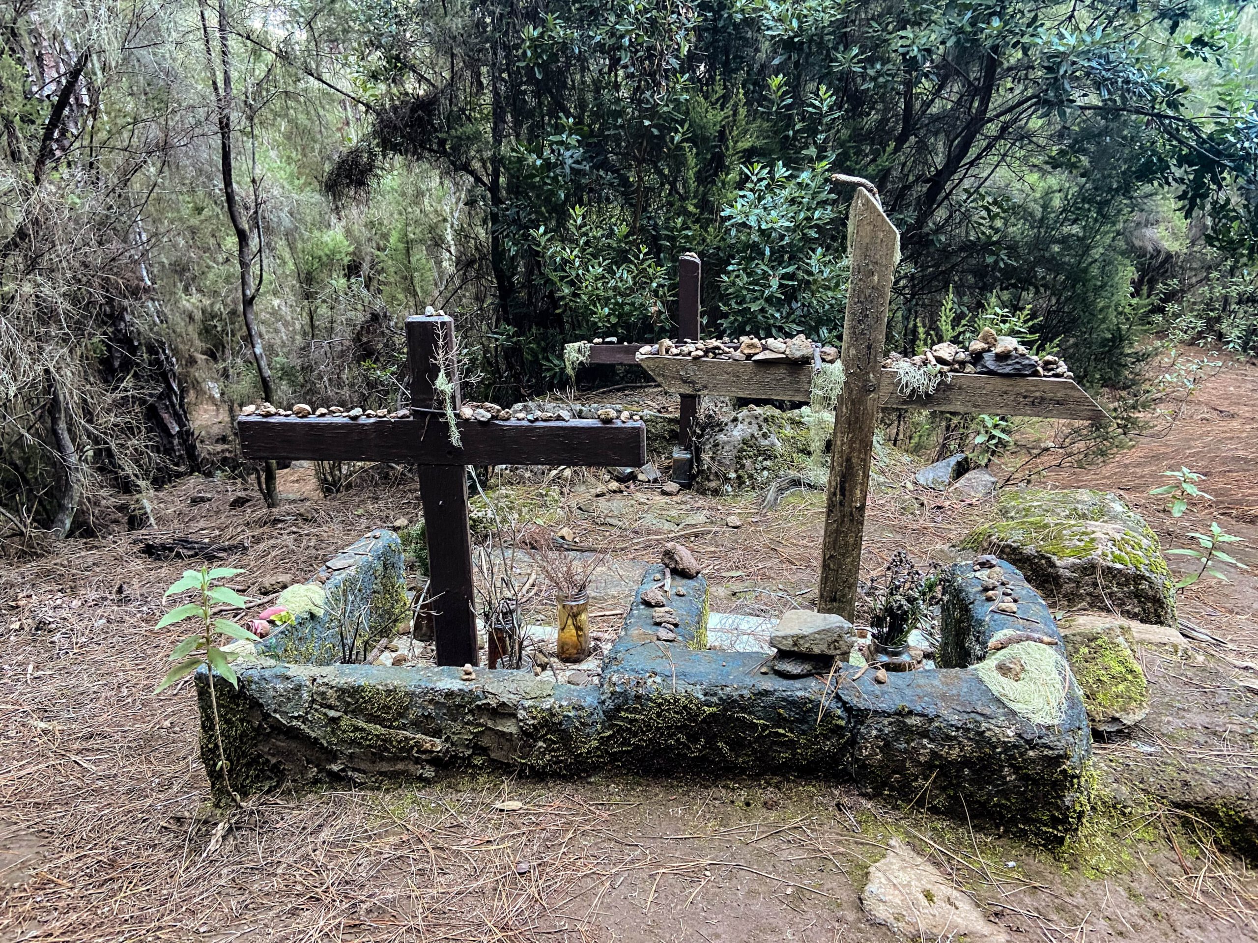
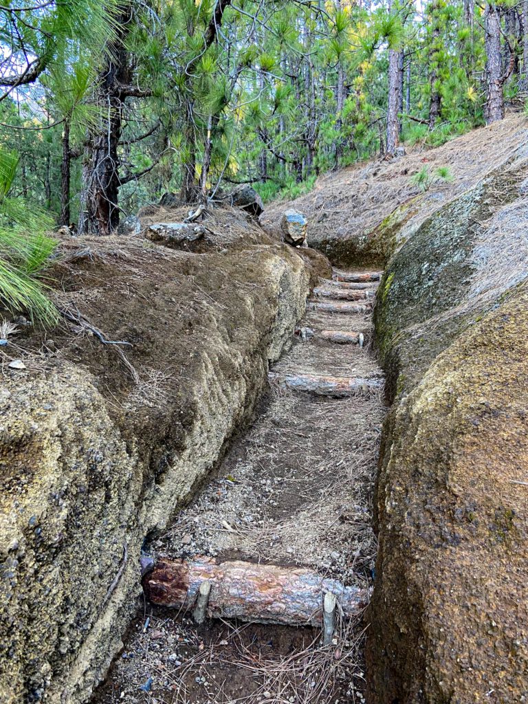
Cross the slope and continue straight uphill through the forest. The following steep ascent over a wooded mountain saddle is identical to the last descent from the Organos high trail. Eventually you will reach a junction. The Organos Ridgeway goes to the left. But you continue straight on uphill. From time to time you will pass crosses indicating that you are on a pilgrim’s path. Overall, the path is very well maintained. It is very steep, but in many places there are good steps built over washed-out sections.

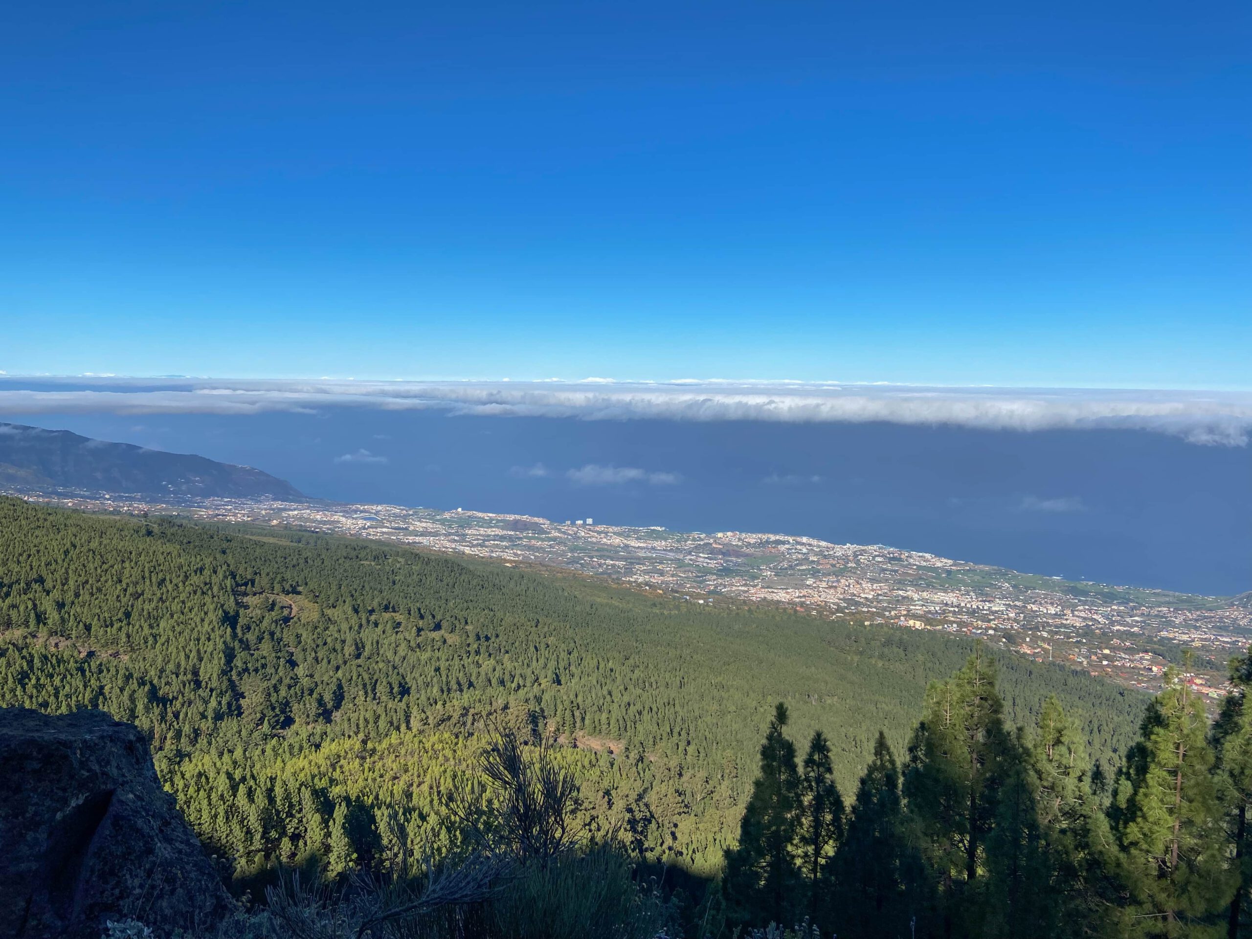
Some of these are also secured with pieces of wood, so that you can safely climb the steep path. On your left is the increasingly impressive Barranco de Pedro Gill, which I also described in the hike around Montaña Limon. The higher you climb on the ridge path, the more fantastic the views into the deep barranco on your left and back over the lower Orotava valley become. On your right is the Barranco de la Pasada de las Bestías. The path continues steeply up the ridge. Finally, after what feels like a long climb, the ridge path ends. You also come out of the forest and have fantastic views back to the neighbouring island of La Palma.
Route section end of forest to Mirador Crucita
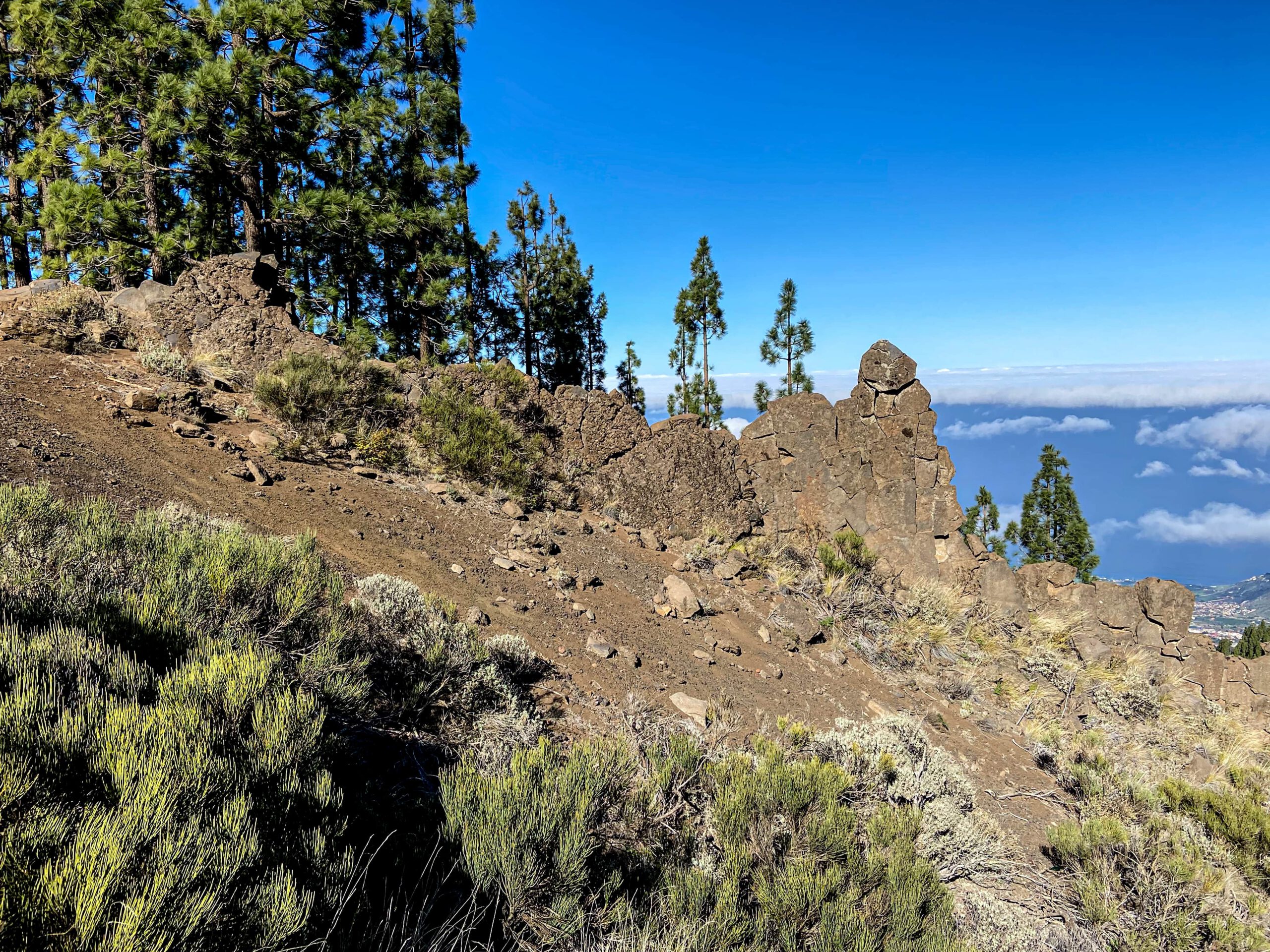
In the next section, the trail leads you away from the ridge to the left and you cross the upper part of the Barranco Pedro Gil with its side gorges, El Lajón del Potillo and the Barranqueras de las Arenas on the slope side in a wide arc. Here you hike over sand and volcanic rock. The path is well marked and pleasantly flat after the steep ascent. But once you have overcome all the ravines on the slope side, there is another last steep ascent to Mirador Crucita.
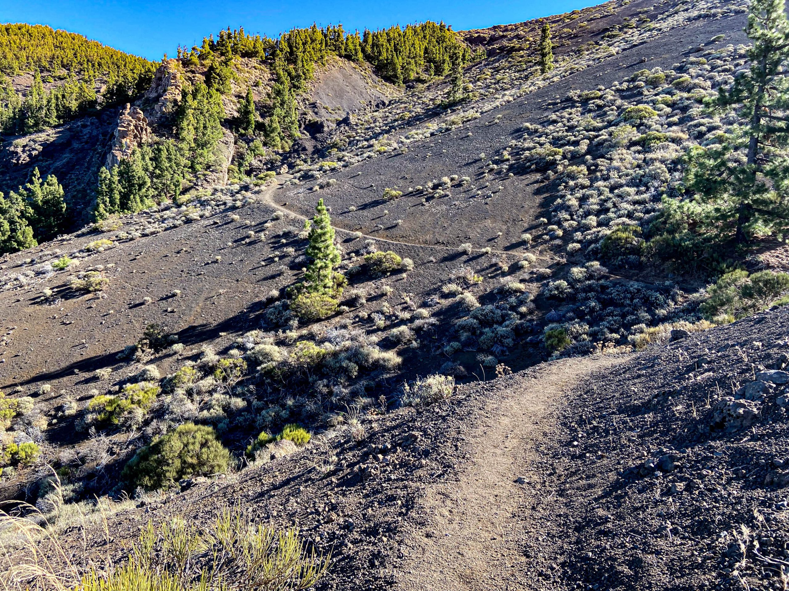
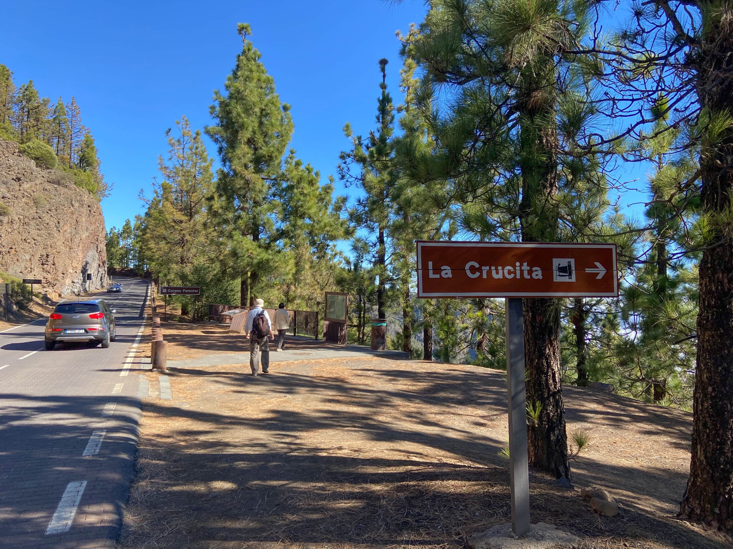
Finally, the hiking trail leads you once again very steeply – partly in narrow serpentines – up the other side of the gorge. You can enjoy wonderful views – now also of the Teide. You also walk through the forest again for a while. And then you have made it and are at the Cumbre Dorsal of Tenerife. At the top, on the other side of the TF 24 road, is the Mirador de La Crucita. From here you can also look down on the eastern side of Tenerife. If you want to continue hiking, you can now follow the pilgrimage route towards Candelaria. For everyone else, I recommend a rest at the summit with wonderful views and then a relaxed return.
And finally
I hope you enjoyed this beautiful hike in the upper Orotava valley. Perhaps you would like to walk individual parts of the Camino de Candelaria pilgrimage route, as I did. Or maybe you will walk the whole way. Whatever you decide, I wish you safe and beautiful walks,
Dagmar from Siebeninseln