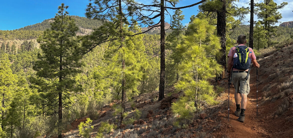
Trevejos – A Small Hamlet in Southeast Tenerife
Trevejos is a small settlement within the municipality of Vilaflor de Chasna on Tenerife. With fewer than 50 residents, it is situated about 3 km from Vilaflor’s centre. The hamlet lies at an average altitude of around 1,640 metres and covers an area of 15 square kilometres. Much of this area falls within the Corona Forestal and Ifonche nature reserves. So you will have an interesting hike around Trevejos.
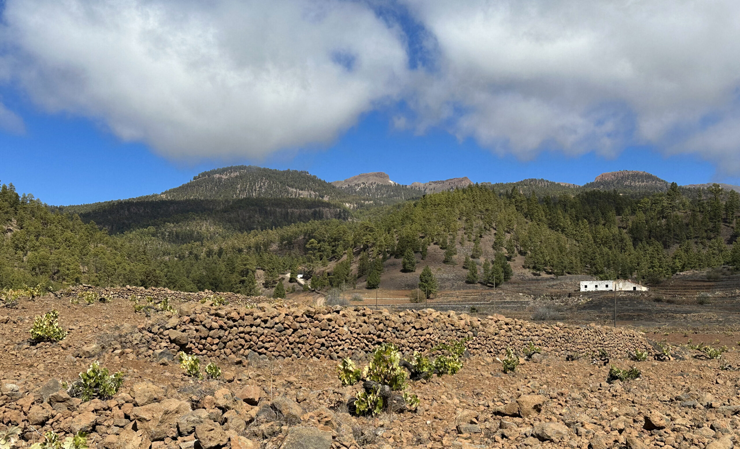
Hiking in and around Trevejos offers varied scenery. Along the way, you’ll encounter secluded farmsteads, vineyards, and the large Embalse de Trevejos reservoir. The route also features caves and cave houses. Higher up, the trails pass through dramatic ravines, offer stunning views, and meander by galleries and terraced fields.
- Exploring Trevejos on Foot: Two Variants
- General Information About the Trevejos Circular Hike
- Trevejos Circular Hike
- Streckenabschnitt TF-51 Kilometer 15 bis Abzweig GR-131
- Section from the GR-131 junction (small Trevejos hike) to the Ladera Grande hiking trail junction (large Trevejos hike return route)
- Section of the GR-131 junction (large Trevejos loop) to the Las Lajas loop junction
- Section: Junction Las Lajas Circuit to Junction Ladera Grande Trail
- Section: Junction Ladera Grande Trail to Embalse de Trevejos
- Section: Embalse de Trevejos to Starting Point
- An finally
Exploring Trevejos on Foot: Two Variants
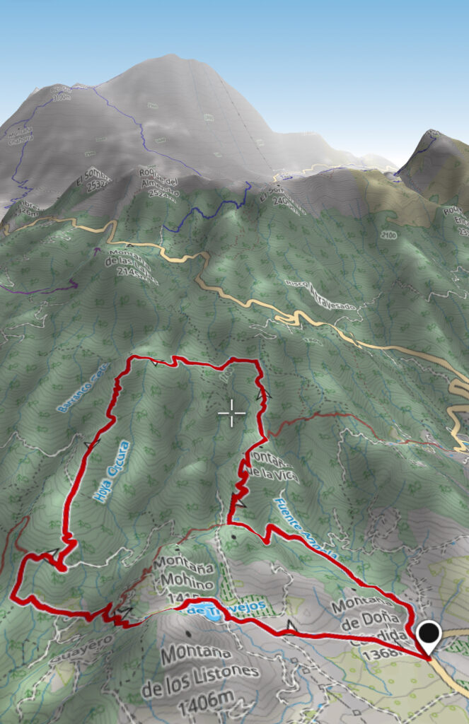
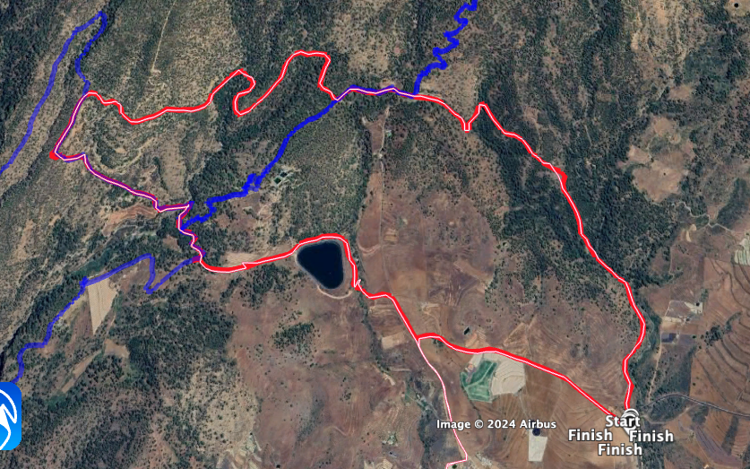
This article introduces two distinct hiking routes. Both allow you to visit the reservoir and caves. For much of their course, the shorter and longer circuits overlap. However, the longer route ascends further and higher above Trevejos.
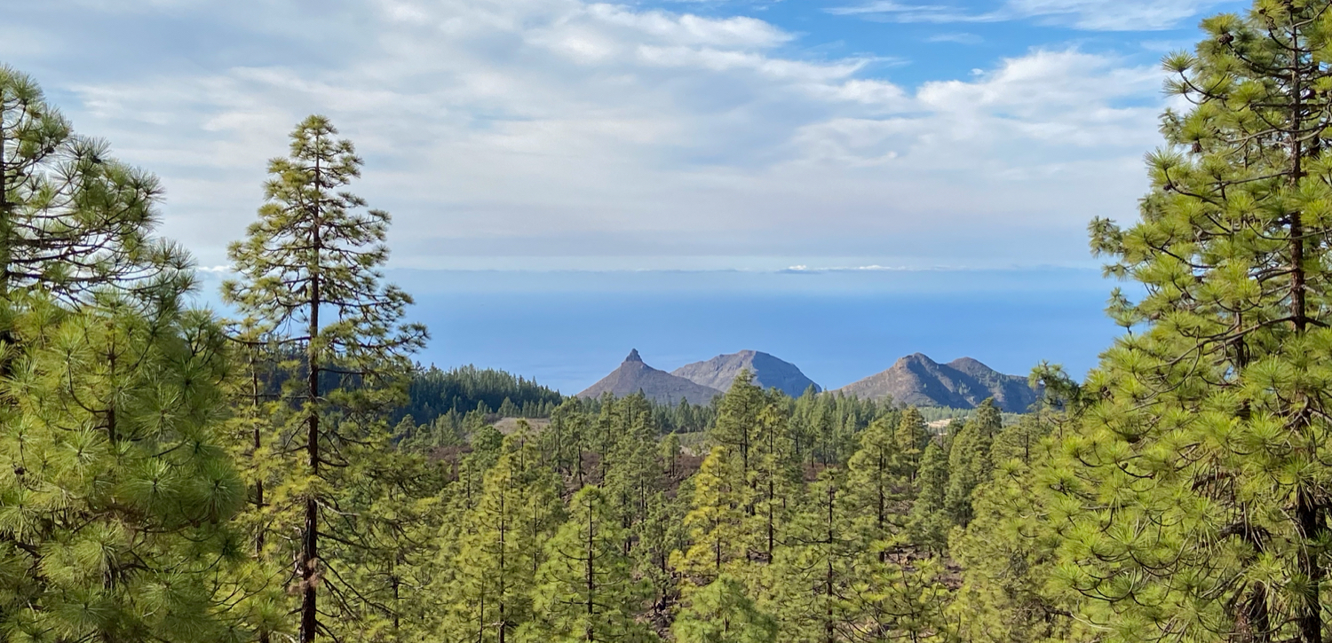
You can choose between a 9-kilometre route with 290 metres of elevation gain or a 13.5-kilometre trek involving 650 metres of elevation gain. Opting for the longer trail towards the Cañadas rewards you with spectacular views of the neighbouring islands of El Hierro and La Gomera—definitely worth the effort.
General Information About the Trevejos Circular Hike
Starting Point and Access
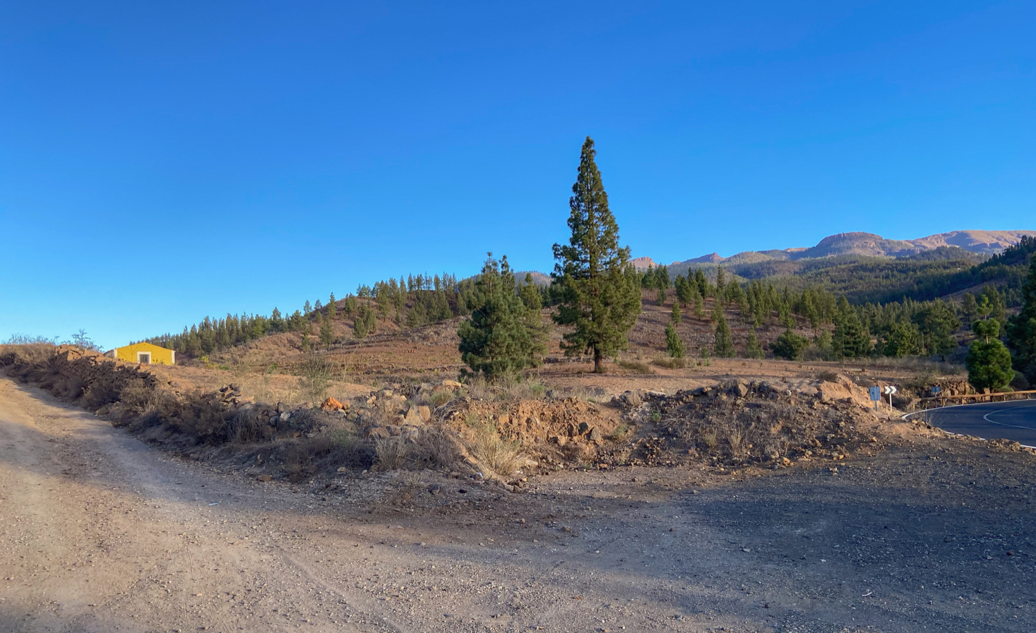
Starting Point: The hike begins at a large open area by the roadside of the TF-51 between La Escalona and Vilaflor de Chasna, at kilometre marker 15.
Access by car
If driving from the south, take the TF-1 and exit at Los Cristianos, heading towards Arona. Follow the TF-28 to La Camella, then take the TF-51. Continue along this road towards Vilaflor de Chasna until you reach kilometre 15.
Access by bus (guagua)
Bus routes 482 and 416/419 connect Los Cristianos to Trevejos. Route 482 is direct, while 416/419 take longer due to detours. Check the Titsa website for schedules: www.titsa.com.
Time
Hiking times vary based on individual pace. For the shorter circuit, our group of hikers, with breaks included, needed 3 hours. The longer route took approximately 5 hours.

Elevation Gain and Distance
Short circuit: 9 kilometres, 290 metres elevation gain
Long circuit: 13.5 kilometres, 650 metres elevation gain

Difficulty
Both routes follow well-maintained hiking or farm tracks, making them suitable for most hikers.
Refreshment
There are no refreshment stops along the routes, so be sure to carry enough water and snacks.
Variants
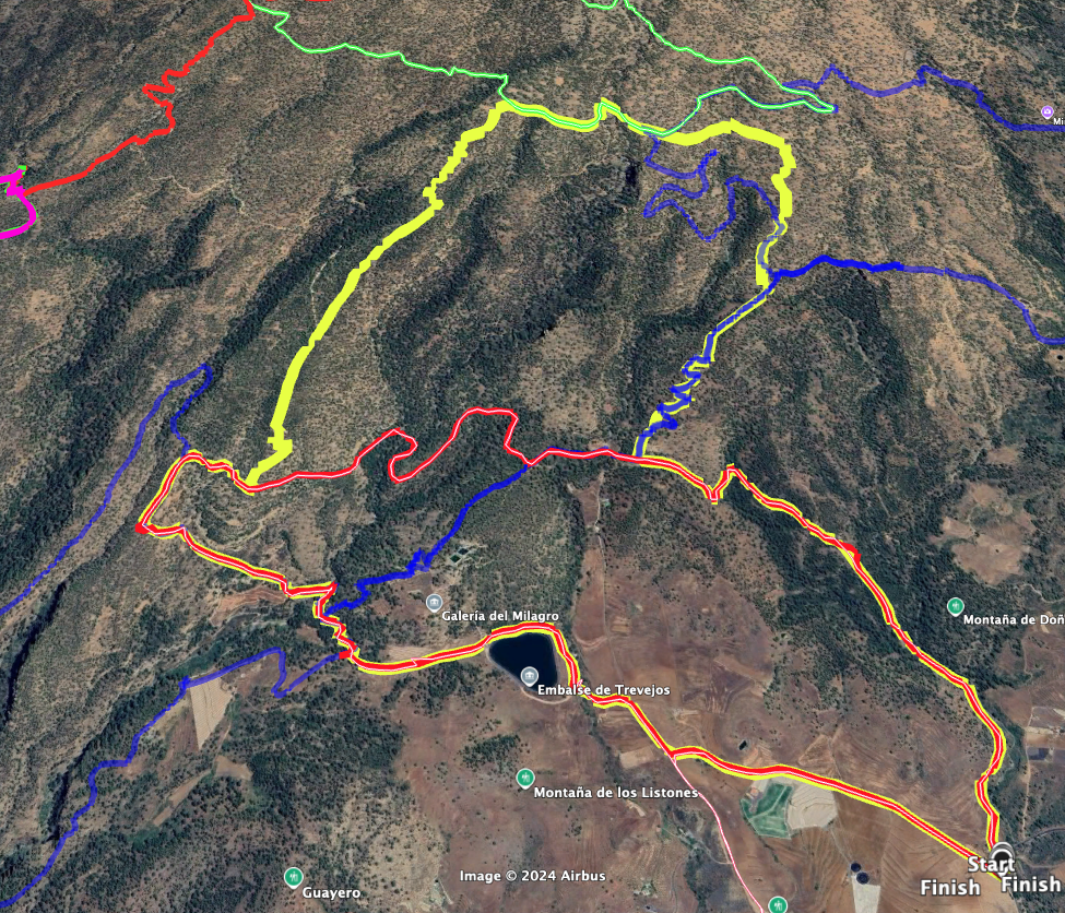
In addition to the two outlined routes, Trevejos offers numerous trails, allowing you to customise your hike to make it longer or shorter.
Some sections overlap with the GR-131, which connects Ifonche to Vilaflor.
For those attempting the longer route, part of the hike intersects with the Montaña Las Lajas circuit.
Trevejos Circular Hike
Streckenabschnitt TF-51 Kilometer 15 bis Abzweig GR-131
You start both hikes Trevejos (small and large loop) at the described place at kilometre 15 on the TF-51. There you do not go straight up the Camino Güayero, but keep to the right. Then you walk along a small ravine (on the right-hand side) for quite a while, slightly uphill. The Canal de Vilaflor-Adeje runs to your left. On your left is the Montaña de Doña Cándida. After a while you will reach the bottom of the small ravine.
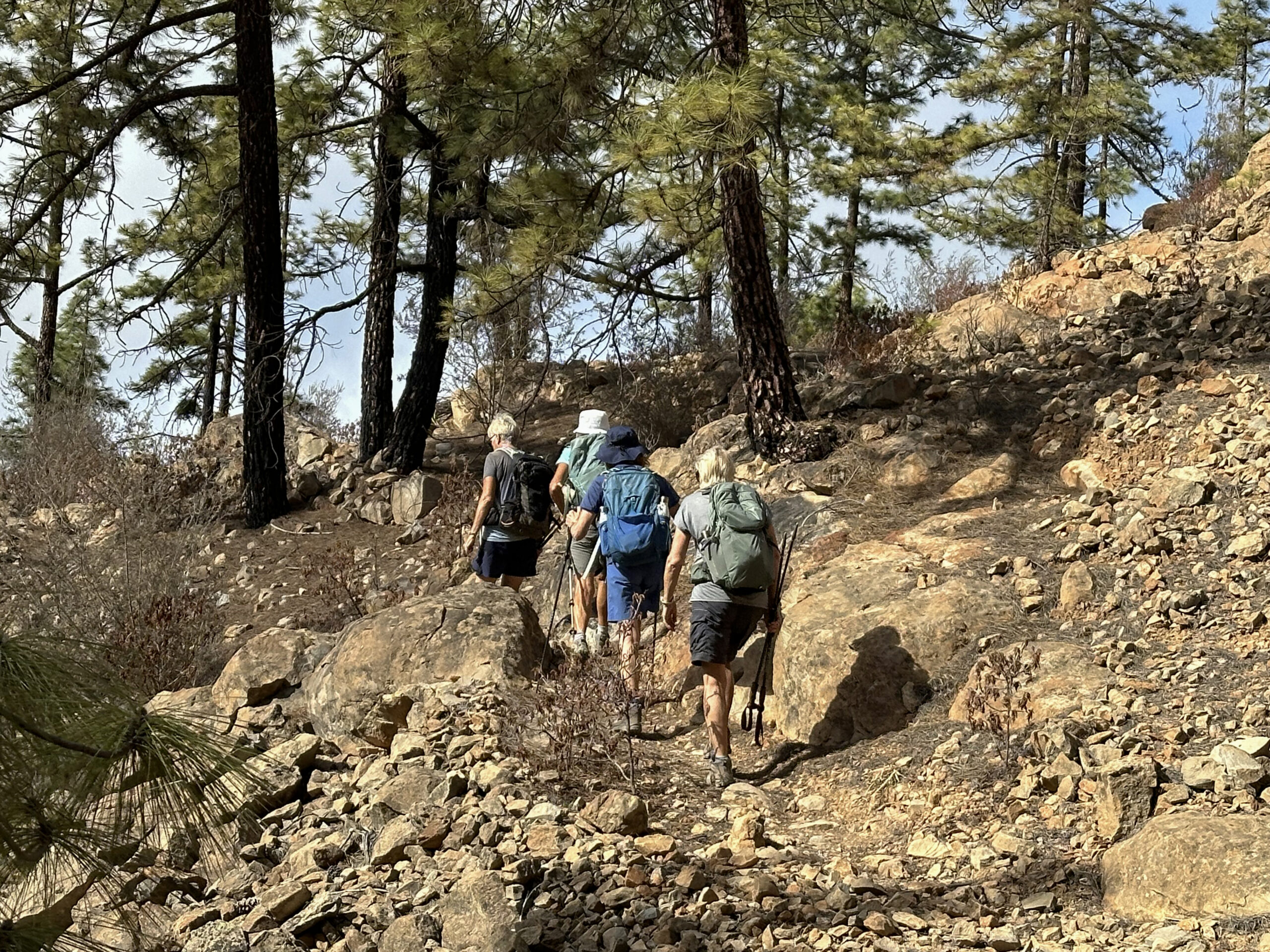
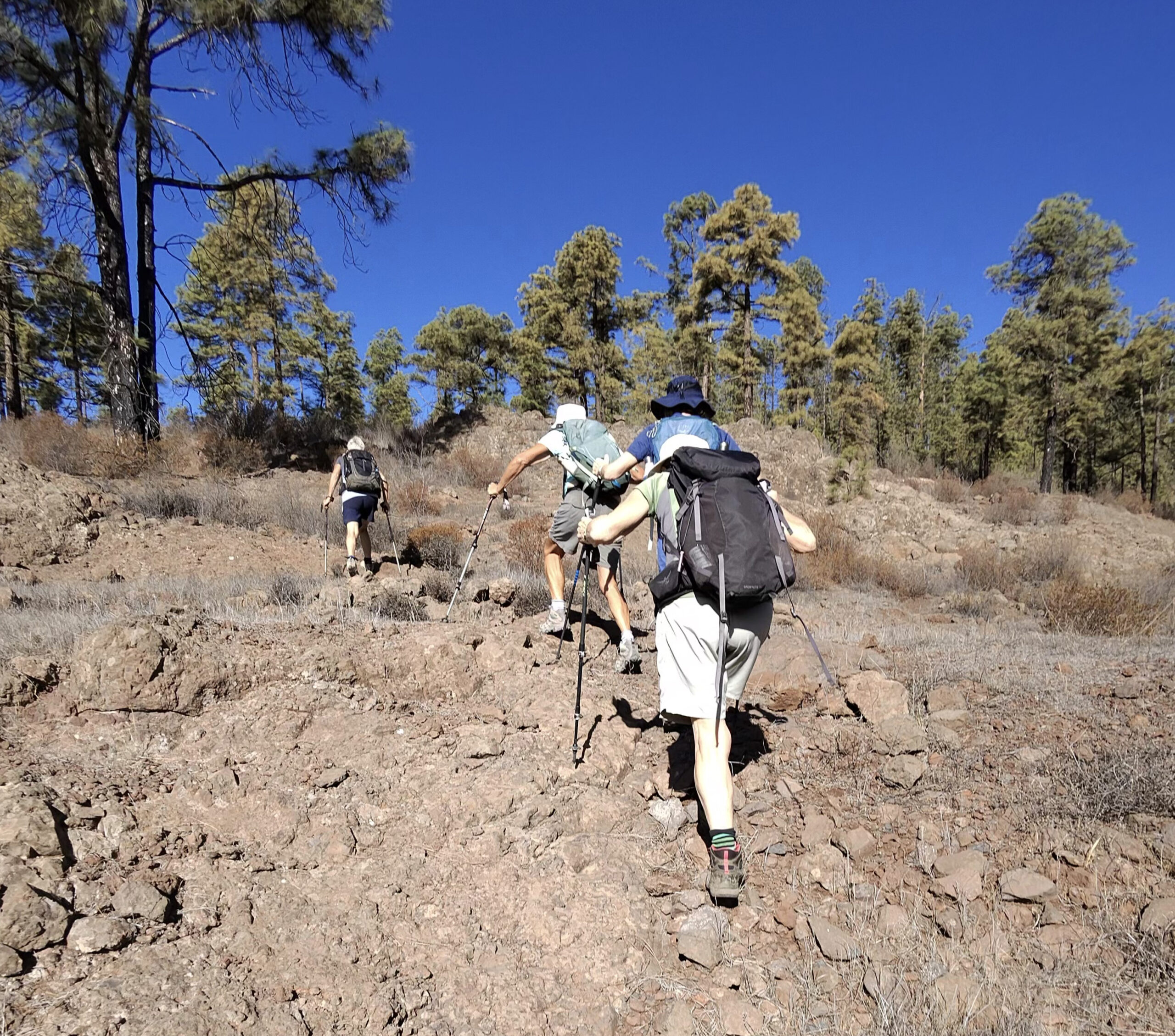
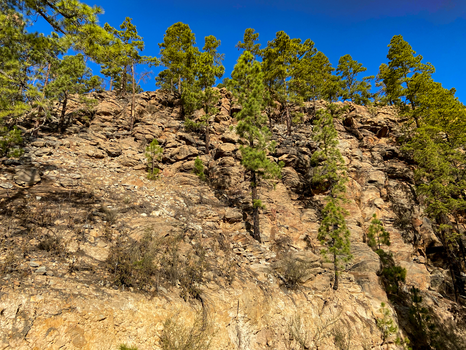
Walk round to the left into the gorge for a short while. The hiking trail then leads you out of the gorge to the left, climbing more steeply uphill. You walk through pine forest and finally meet the Camino de Trevejos. Follow this larger track to the left for quite a while. It takes you further up through the forest and small gorges. Eventually you reach a place with a canal and other water features. The GR-131 long-distance hiking trail branches off to the right.
Section from the GR-131 junction (small Trevejos hike) to the Ladera Grande hiking trail junction (large Trevejos hike return route)
For the large Trevejos loop, turn right uphill here. I will describe the rest of the route later. For now, I will describe the short Trevejos loop until it meets up with the long loop again. On the small loop, simply continue straight ahead for a while along the Camino de Trevejos, which is also the GR-131 here. Eventually you come to a junction. Turn right here and leave the GR-131.
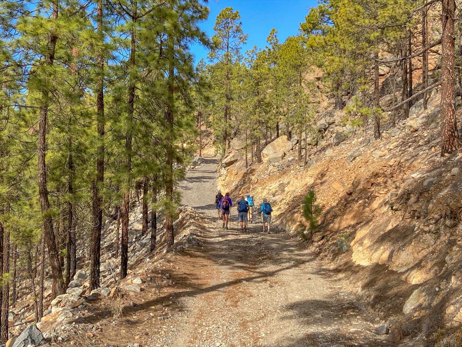
The trail continues in wide hairpin bends over small gorges through the forest. Along the way, you can enjoy beautiful views of the landscape around Trevejos. Finally, a hiking trail branches off to the right up to Ladera Grande. Here you come down on the big loop. The rest of the route runs together again. I will therefore first describe the Trevejos long loop from the GR-131 junction.
Section of the GR-131 junction (large Trevejos loop) to the Las Lajas loop junction
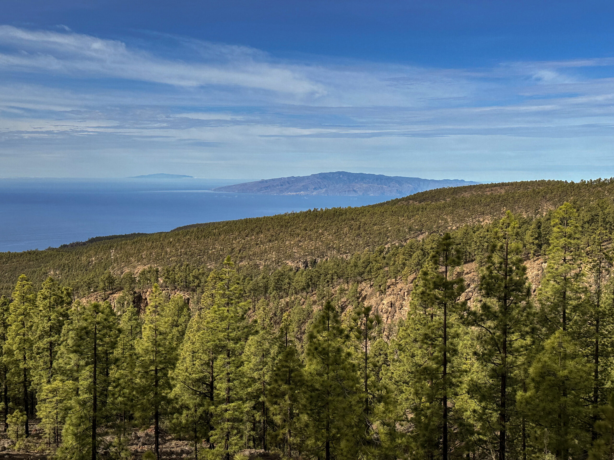
For the large Trevejos circuit, you leave the Camino de Trevejos and follow the GR-131 uphill for a long time. The route is well-signposted, and the path, with its small and large ascending switchbacks, is unmistakable. The views improve as you gain elevation. In good visibility, you can also see the neighbouring islands of El Hierro and La Gomera. After passing the Montaña de la Vica, a path branches off to the left, taking you further uphill.
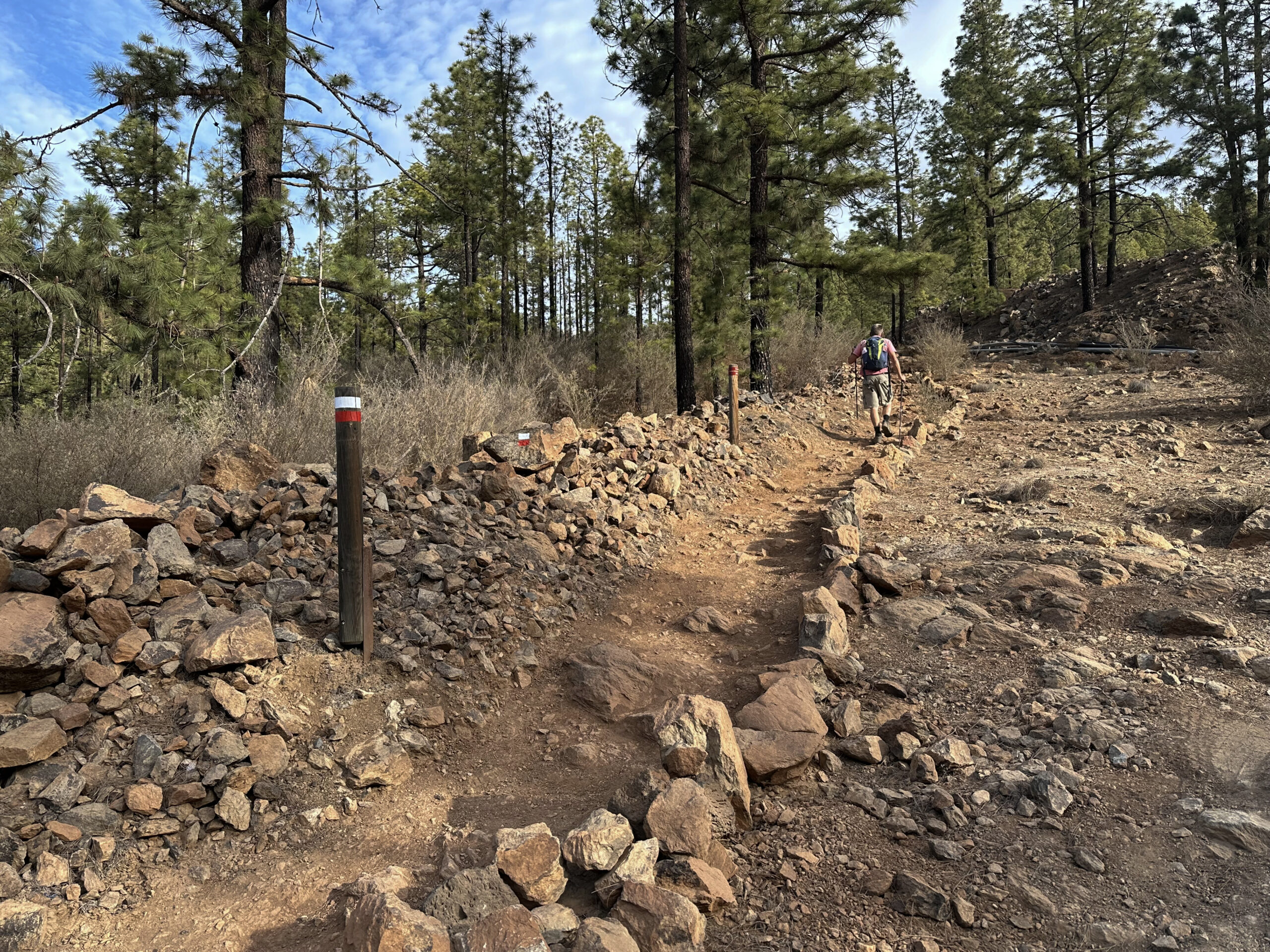
The GR-131 continues downhill to the right towards Vilaflor. However, you continue ascending. After a while, another path branches off to the left. I have already walked this path before, and it eventually reconnects after a few twists and turns with the trail described here. On this circuit, we continued to climb. At the top, you reach a track which you follow to the left. Shortly after, a track branches off to the right. This is part of the route around the Montaña Las Lajas.
Section: Junction Las Lajas Circuit to Junction Ladera Grande Trail
You continue straight ahead. The track that you could have alternatively taken now approaches from the left. You leave the track and continue to the right along a small path beside the canal. This path takes you downhill, crossing the Barranco del Rey and passing an old gallery. Then, you continue straight ahead, crossing another ravine. Continuing along the Las Lajas Circuit, you will encounter many more ravines to cross.
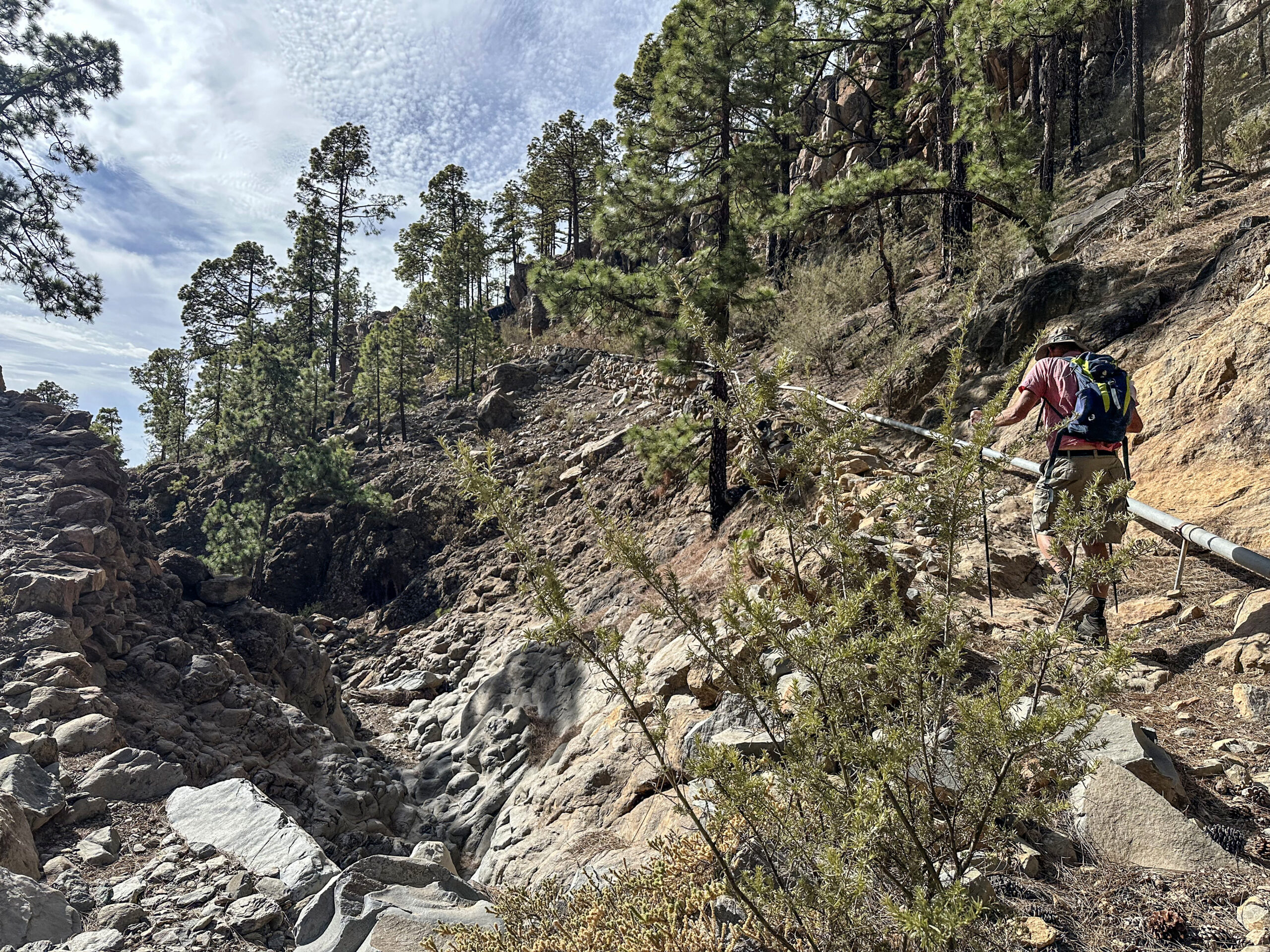
On this circuit, however, the path now turns left, leading downhill with stunning views. A very long descent along the Ladera Grande awaits. Eventually, the Camino de Ifonche branches off to the right, leading to the Galería Rosario and the Casas de Teresme. However, you continue straight downhill and eventually rejoin the path where the smaller Trevejos circuit would merge from the left (as described earlier).
Section: Junction Ladera Grande Trail to Embalse de Trevejos
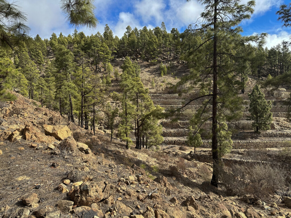
You now follow a small path straight ahead, crossing a small ravine. On the other side, you are back on the GR-131, which you follow downhill. Enjoy the varied landscape with terraced fields and retention basins. At times, the path ascends using wooden steps. This section of the GR-131 is exceptionally well-maintained (as of November 2024).
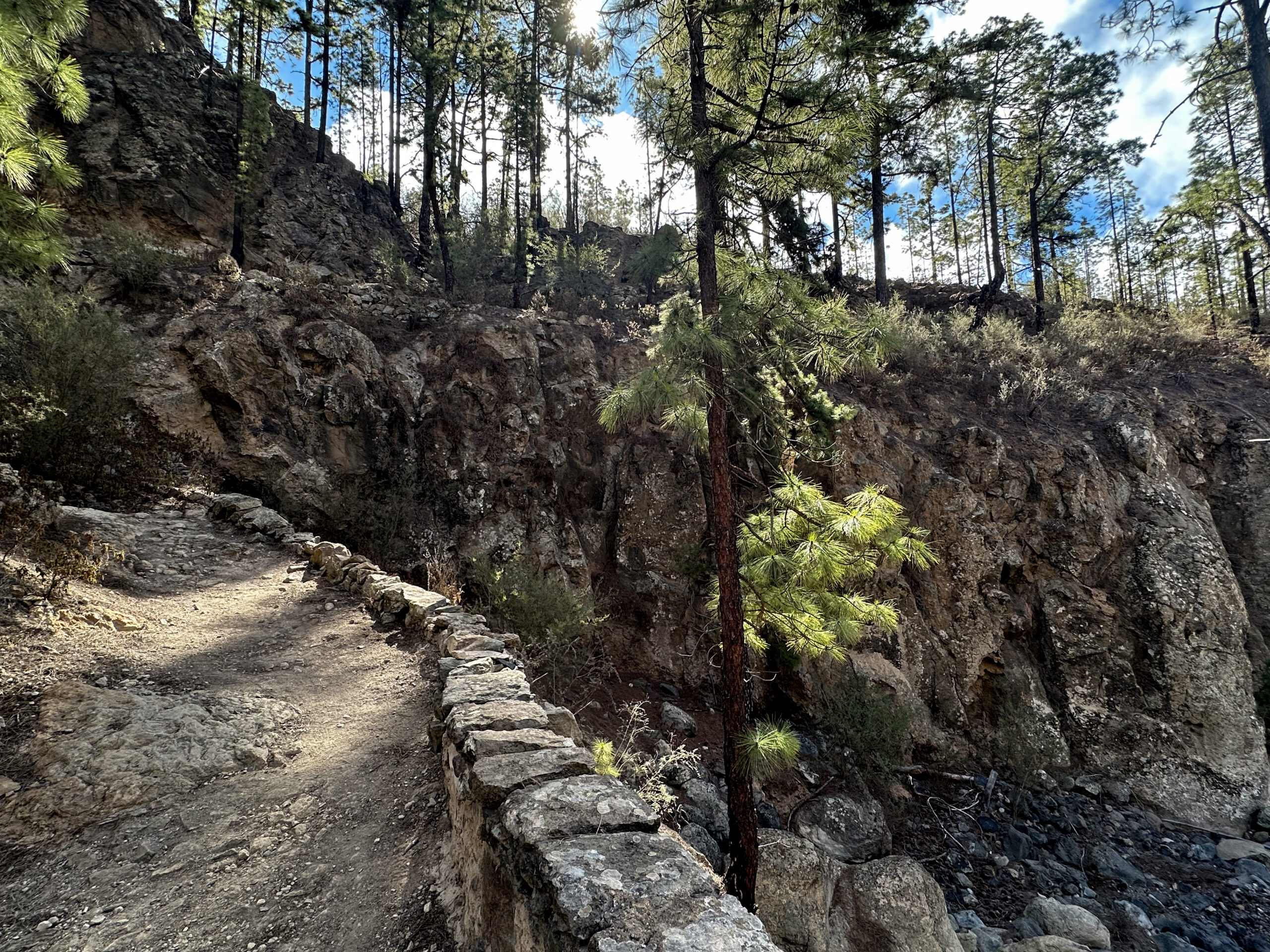
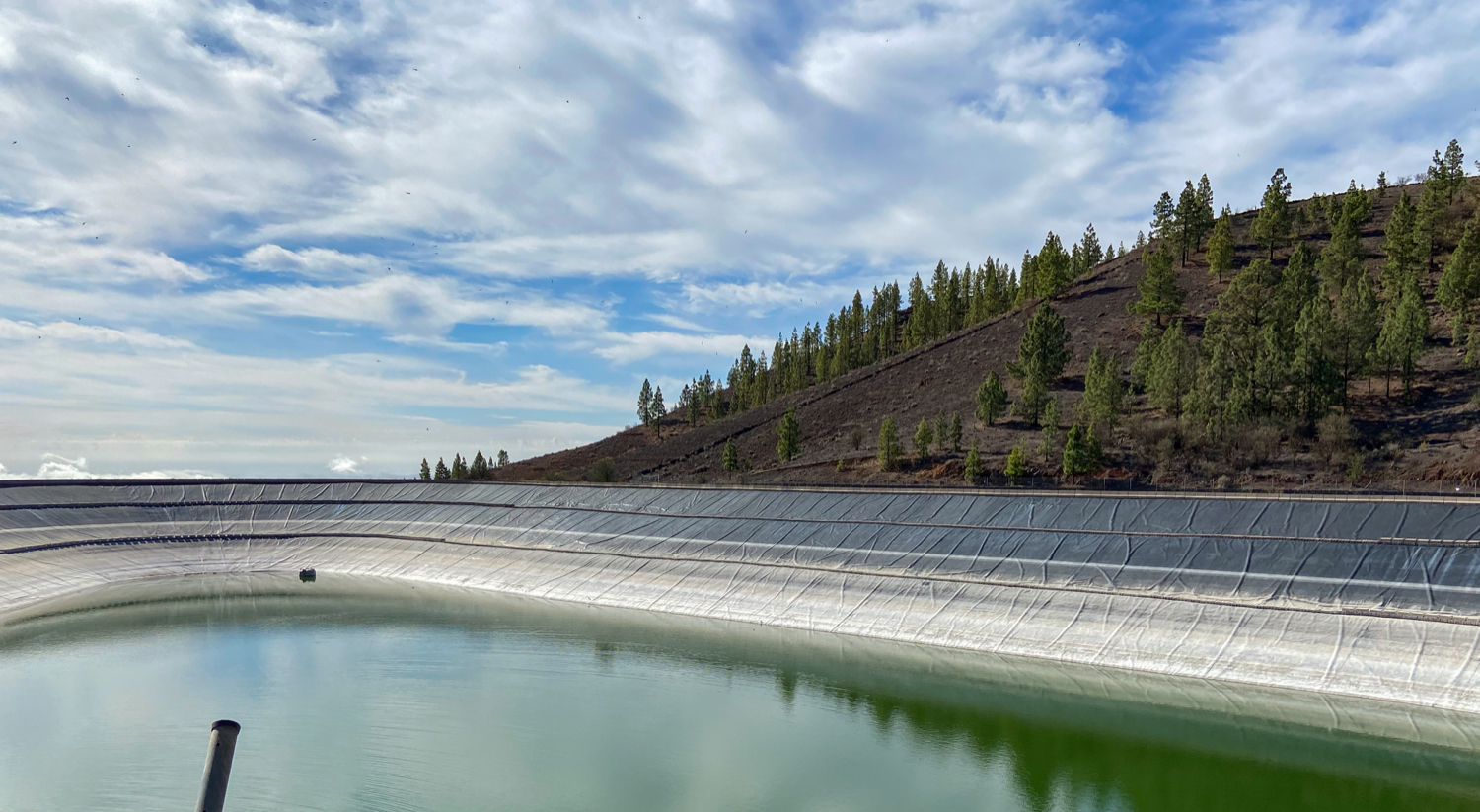
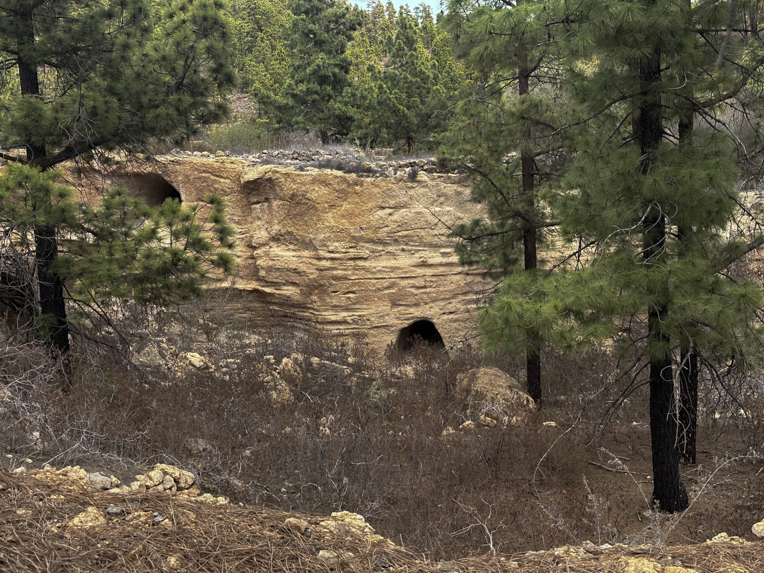
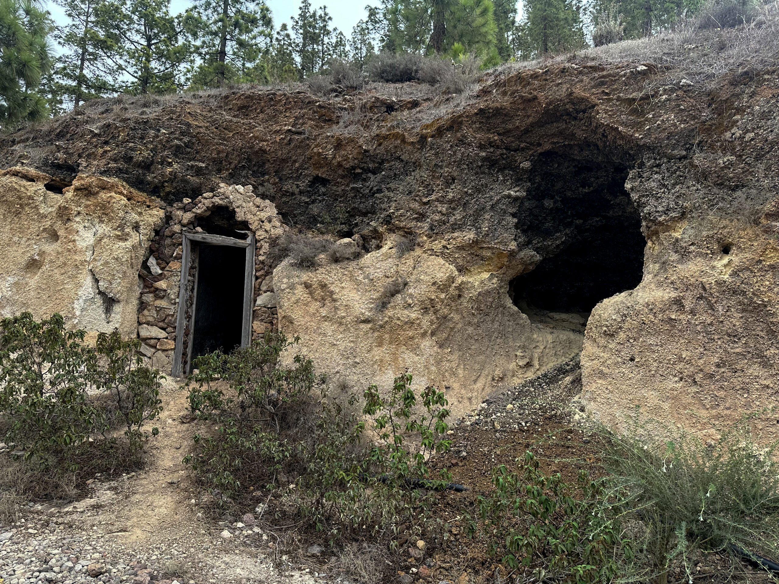
You cross a ravine on a stone bridge and ascend through the forest on the other side. The GR-131 then branches off to the left, but you continue straight ahead. Following a track, you take a left turn uphill. To your right, there are caves and cave houses worth stopping to explore. Shortly afterwards, you reach the Embalse de Trevejos. During my last visit in November 2024, there was very little water in it.
Section: Embalse de Trevejos to Starting Point
You walk around the Embalse de Trevejos on a path to the left. Then, you cross the small Barranco de Funes ravine to the left. This brings you to the Pista de Trevejos-Vilaflor, which you follow briefly to the right. At the next junction, take the Camino Güayero to the left. You pass a beautiful horse farm as you continue along the Camino Güayero for a while. This path eventually brings you back to your starting point on the TF-51.
An finally
I hope you enjoyed the two variations of the Trevejos hike. Myself was fascinated by the varied landscape with vineyards, terraced fields, cave houses, and the Embalse. I hope you feel the same and wish you much joy on all your hikes.
Dagmar from SiebenInseln
